UN/LOCODE hub · Canada
CABOR

Borden

46.2500°, -63.7000°
3
Transport functions

Transport Functions

Port
Rail
Road
UN/LOCODE

Hub Profile

Place type
Locality
GeoNames
Region
Prince Edward Island
GeoNames
Time zone
America/Halifax
GeoNames
Elevation
8 m
GeoNames

Location

Location of CABOR
Natural Earth 10m (public domain) · Prince Edward Island · CABOR · 46.25, -63.70GoogleOSMYandex

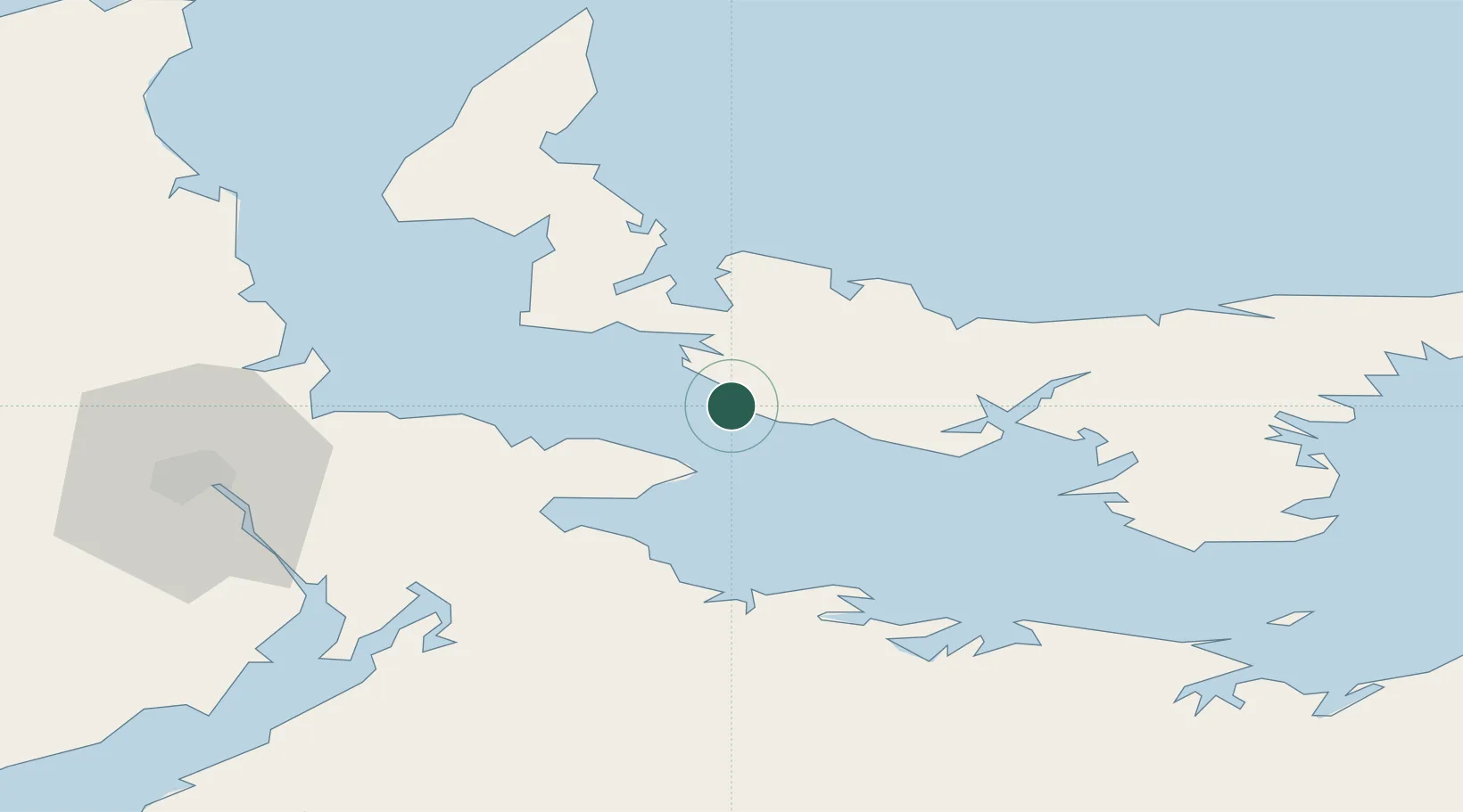
Nearby Logistics Neighbours

Cities
  1. 1Prince Edward Island3 km
  2. 2Breadalbane19 km
  3. 3Little Shemogue29 km
  4. 4Port Elgin38 km
  5. 5Shemogue39 km
Nearest neighbours — logibook spatial index (haversine) over the source coordinates
Ports
  1. 1Summerside18 km
  2. 2Charlottetown44 km
  3. 3Georgetown90 km
  4. 4Pictou100 km
  5. 5Windsor143 km
Nearest neighbours — logibook spatial index (haversine) over the source coordinates
Airports
  1. 1Summerside Airport24 km
  2. 2Charlottetown Airport44 km
  3. 3Fox Harbour Airport46 km
  4. 4Greater Moncton Roméo LeBlanc International Airport77 km
  5. 5Halifax / Stanfield International Airport153 km
Nearest neighbours — logibook spatial index (haversine) over the source coordinates
Trade Zones
  1. 1Halifax Gateway178 km
  2. 2Saint John213 km
  3. 3Cape Breton Regional Municipality Foreign Trade Zone227 km
  4. 4FTZ No. 179 Madawaska372 km
  5. 5FTZ No. 058 Bangor430 km
Nearest neighbours — logibook spatial index (haversine) over the source coordinates
DatabookThe Record of Consolidated Knowledge
Canada beyond logistics?
Browse databook

All Sources

LocationsUN/LOCODE
UN/LOCODE — free
Portsthe NGA World Port Index
Public domain (US gov)
AirportsOurAirports
Public domain
Trade Zonesthe World Bank SEZ database
CC BY 4.0
Trade ZonesOpen Zone Map
CC BY
← Canada locations