UN/LOCODE hub · Canada
CACRL

Prince Edward Island

46.2333°, -63.6667°
1
Transport functions

Transport Functions

Rail
UN/LOCODE

Hub Profile

Place type
Urban district
GeoNames
Region
Prince Edward Island
GeoNames
Time zone
America/Halifax
GeoNames
Elevation
15 m
GeoNames

Location

Location of CACRL
Natural Earth 10m (public domain) · Prince Edward Island · CACRL · 46.23, -63.67GoogleOSMYandex

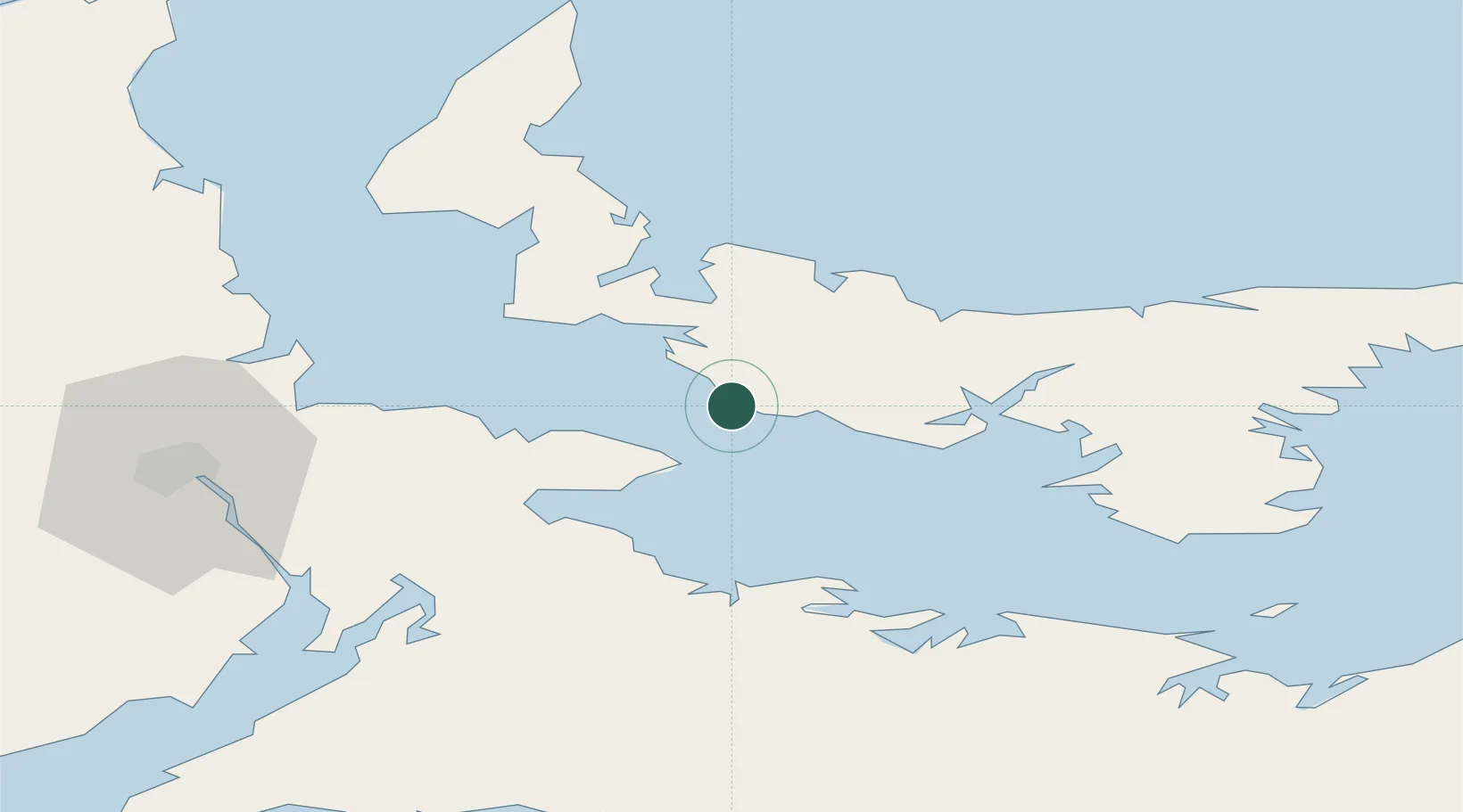
Nearby Logistics Neighbours

Cities
  1. 1Borden3 km
  2. 2Breadalbane18 km
  3. 3Little Shemogue30 km
  4. 4Port Elgin39 km
  5. 5Shemogue41 km
Nearest neighbours — logibook spatial index (haversine) over the source coordinates
Ports
  1. 1Summerside21 km
  2. 2Charlottetown41 km
  3. 3Georgetown87 km
  4. 4Pictou97 km
  5. 5Windsor142 km
Nearest neighbours — logibook spatial index (haversine) over the source coordinates
Airports
  1. 1Summerside Airport26 km
  2. 2Charlottetown Airport42 km
  3. 3Fox Harbour Airport43 km
  4. 4Greater Moncton Roméo LeBlanc International Airport79 km
  5. 5Halifax / Stanfield International Airport151 km
Nearest neighbours — logibook spatial index (haversine) over the source coordinates
Trade Zones
  1. 1Halifax Gateway176 km
  2. 2Saint John215 km
  3. 3Cape Breton Regional Municipality Foreign Trade Zone225 km
  4. 4FTZ No. 179 Madawaska375 km
  5. 5FTZ No. 058 Bangor431 km
Nearest neighbours — logibook spatial index (haversine) over the source coordinates
DatabookThe Record of Consolidated Knowledge
Canada beyond logistics?
Browse databook

All Sources

LocationsUN/LOCODE
UN/LOCODE — free
Portsthe NGA World Port Index
Public domain (US gov)
AirportsOurAirports
Public domain
Trade Zonesthe World Bank SEZ database
CC BY 4.0
Trade ZonesOpen Zone Map
CC BY
← Canada locations