Transport Functions
Rail
Road
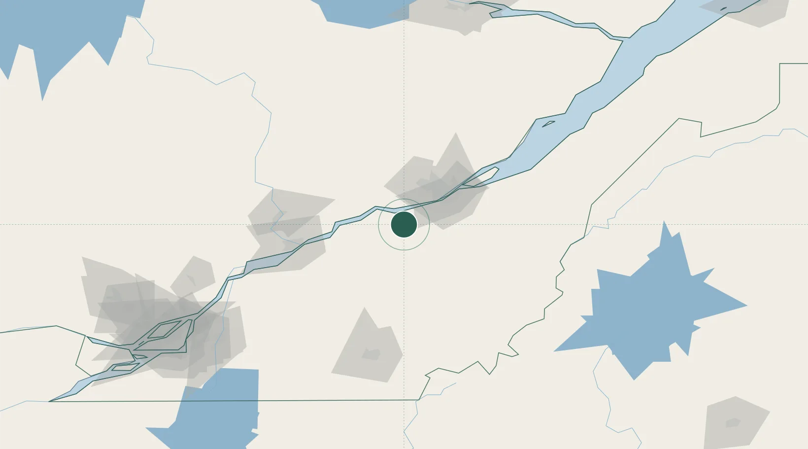
Hub Profile
Place type
Populated place
Region
Quebec
Time zone
America/Toronto
Elevation
113 m
Location
Nearby Logistics Neighbours
Cities
- 1Dosquet12 km
- 2Pont-Rouge25 km
- 3Lotbinière25 km
- 4Villeroy25 km
- 5Saint-Patrice-de-Beaurivage33 km
Ports
- 1Quebec45 km
- 2Port De Becancour59 km
- 3Trois Rivieres73 km
- 4Sorel126 km
- 5Contrecour141 km
Airports
- 1Quebec Jean Lesage International Airport34 km
- 2Trois-Rivières Airport83 km
- 3Saint-Georges Airport86 km
- 4Sherbrooke Airport122 km
- 5Charlevoix Airport159 km
Trade Zones
- 1Québec City FTZ44 km
- 2Greater Montreal Free Zone Center188 km
- 3FTZ No. 179 Madawaska264 km
- 4FTZ No. 186 Waterville268 km
- 5FTZ No. 058 Bangor291 km
DatabookThe Record of Consolidated Knowledge
Canada beyond logistics?