Transport Functions
Rail
Road
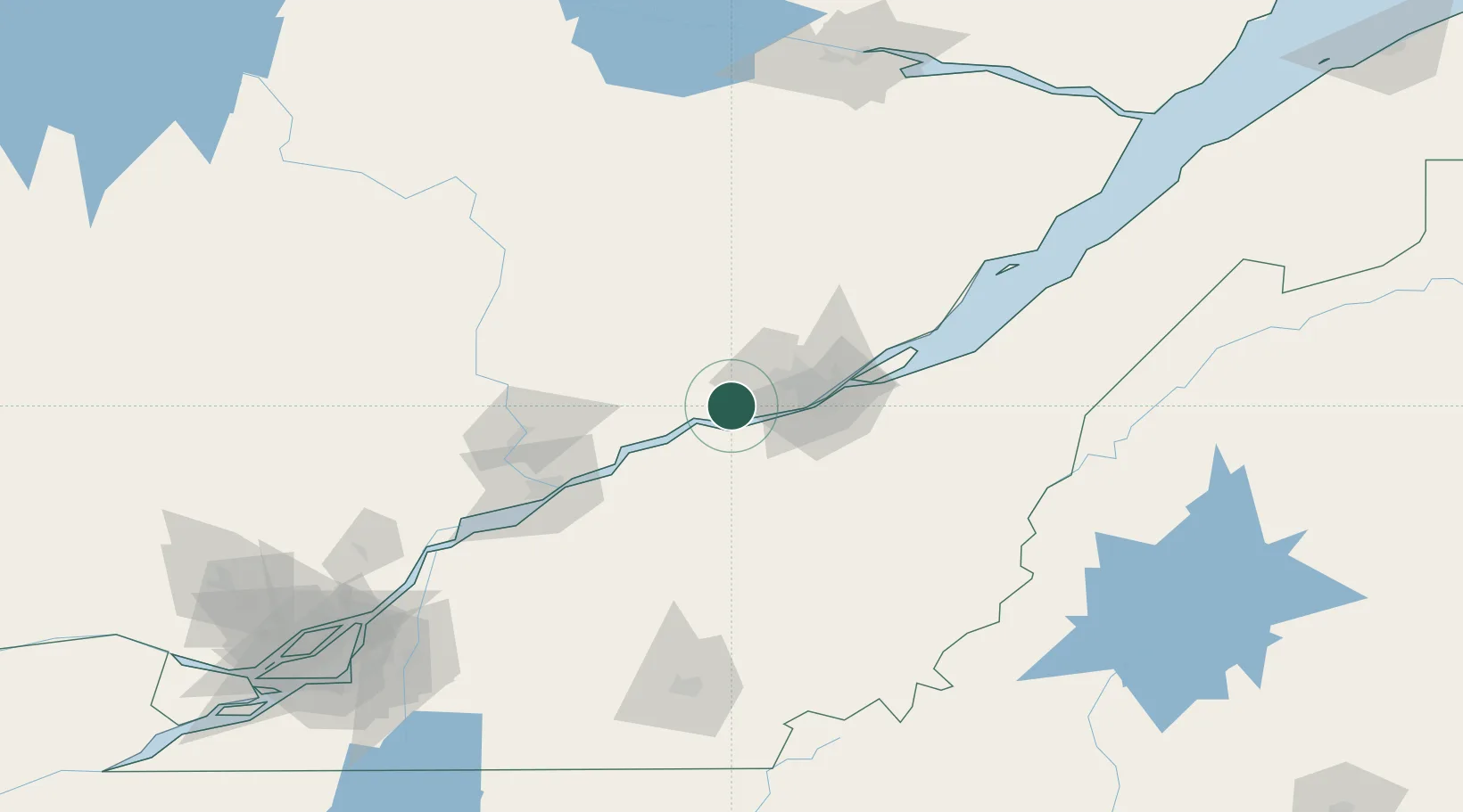
Hub Profile
Place type
Populated place
Region
Quebec
Population
8,723
Time zone
America/Toronto
Elevation
104 m
Location
Nearby Logistics Neighbours
Cities
- 1Saint-Raymond20 km
- 2Courcelette23 km
- 3Lotbinière23 km
- 4Laurier-Station25 km
- 5Vanier34 km
Ports
- 1Quebec38 km
- 2Port De Becancour65 km
- 3Trois Rivieres79 km
- 4Sorel134 km
- 5Contrecour150 km
Airports
- 1Quebec Jean Lesage International Airport24 km
- 2Trois-Rivières Airport87 km
- 3Saint-Georges Airport105 km
- 4Sherbrooke Airport146 km
- 5Charlevoix Airport146 km
Trade Zones
- 1Québec City FTZ35 km
- 2Greater Montreal Free Zone Center199 km
- 3FTZ No. 179 Madawaska261 km
- 4FTZ No. 186 Waterville291 km
- 5FTZ No. 058 Bangor311 km
DatabookThe Record of Consolidated Knowledge
Canada beyond logistics?