Transport Functions
Road
Multimodal
Hub Profile
Region
QC
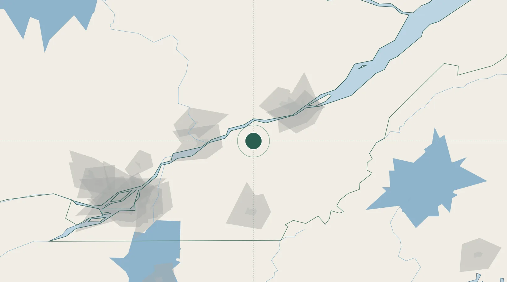
Location
Nearby Logistics Neighbours
Cities
- 1Manseau9 km
- 2Plessisville20 km
- 3Princeville24 km
- 4Laurier-Station25 km
- 5Lotbinière26 km
Ports
- 1Port De Becancour38 km
- 2Trois Rivieres51 km
- 3Quebec70 km
- 4Sorel102 km
- 5Contrecour116 km
Airports
Trade Zones
- 1Québec City FTZ69 km
- 2Greater Montreal Free Zone Center162 km
- 3FTZ No. 186 Waterville266 km
- 4FTZ No. 263 Auburn286 km
- 5FTZ No. 179 Madawaska287 km
DatabookThe Record of Consolidated Knowledge
Canada beyond logistics?