Transport Functions
Rail
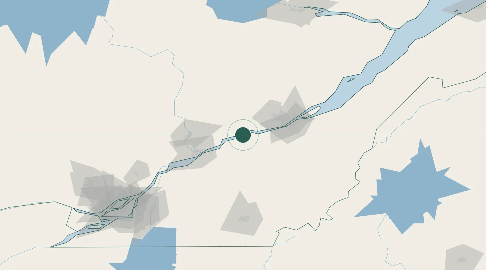
Hub Profile
Place type
Populated place
Region
Quebec
Population
887
Time zone
America/Toronto
Elevation
28 m
Location
Nearby Logistics Neighbours
Cities
- 1Sainte-Anne-de-la-Perade21 km
- 2Pont-Rouge23 km
- 3Laurier-Station25 km
- 4Villeroy26 km
- 5Manseau28 km
Ports
- 1Port De Becancour42 km
- 2Trois Rivieres56 km
- 3Quebec59 km
- 4Sorel111 km
- 5Contrecour127 km
Airports
Trade Zones
- 1Québec City FTZ57 km
- 2Greater Montreal Free Zone Center176 km
- 3FTZ No. 179 Madawaska283 km
- 4FTZ No. 186 Waterville289 km
- 5FTZ No. 263 Auburn311 km
DatabookThe Record of Consolidated Knowledge
Canada beyond logistics?