UN/LOCODE hub · Canada
CASJQ
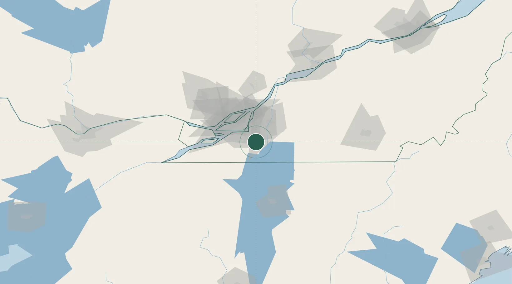
Saint-Jacques-le-Mineur
45.2833°, -73.4167°
1,672
Population
2
Transport functions
Transport Functions
Rail
Road
Hub Profile
Place type
Populated place
Region
Quebec
Population
1,672
Time zone
America/Toronto
Elevation
47 m
Location
Nearby Logistics Neighbours
Cities
- 1Saint-Jean-sur-Richelieu12 km
- 2Saint-Constant14 km
- 3Saint-Rémi15 km
- 4Sainte-Catherine19 km
- 5Saint-Lambert23 km
Ports
- 1Montreal28 km
- 2Beauharnois37 km
- 3Vaudreuil50 km
- 4Oka Sur Le Lac56 km
- 5Hudson60 km
Airports
Trade Zones
- 1Greater Montreal Free Zone Center28 km
- 2FTZ No. 118 Ogdensburg177 km
- 3Québec City FTZ240 km
- 4FTZ No. 109 Watertown243 km
- 5FTZ No. 268 Brattleboro277 km
DatabookThe Record of Consolidated Knowledge
Canada beyond logistics?