UN/LOCODE hub · United States
USM2F

Mooers Forks

44.9500°, -73.6333°
1
Transport functions

Transport Functions

Multimodal
UN/LOCODE

Hub Profile

Place type
Populated place
GeoNames
Region
New York
GeoNames
Time zone
America/New_York
GeoNames
Elevation
114 m
GeoNames

Location

Location of USM2F
Natural Earth 10m (public domain) · New York · USM2F · 44.95, -73.63GoogleOSMYandex

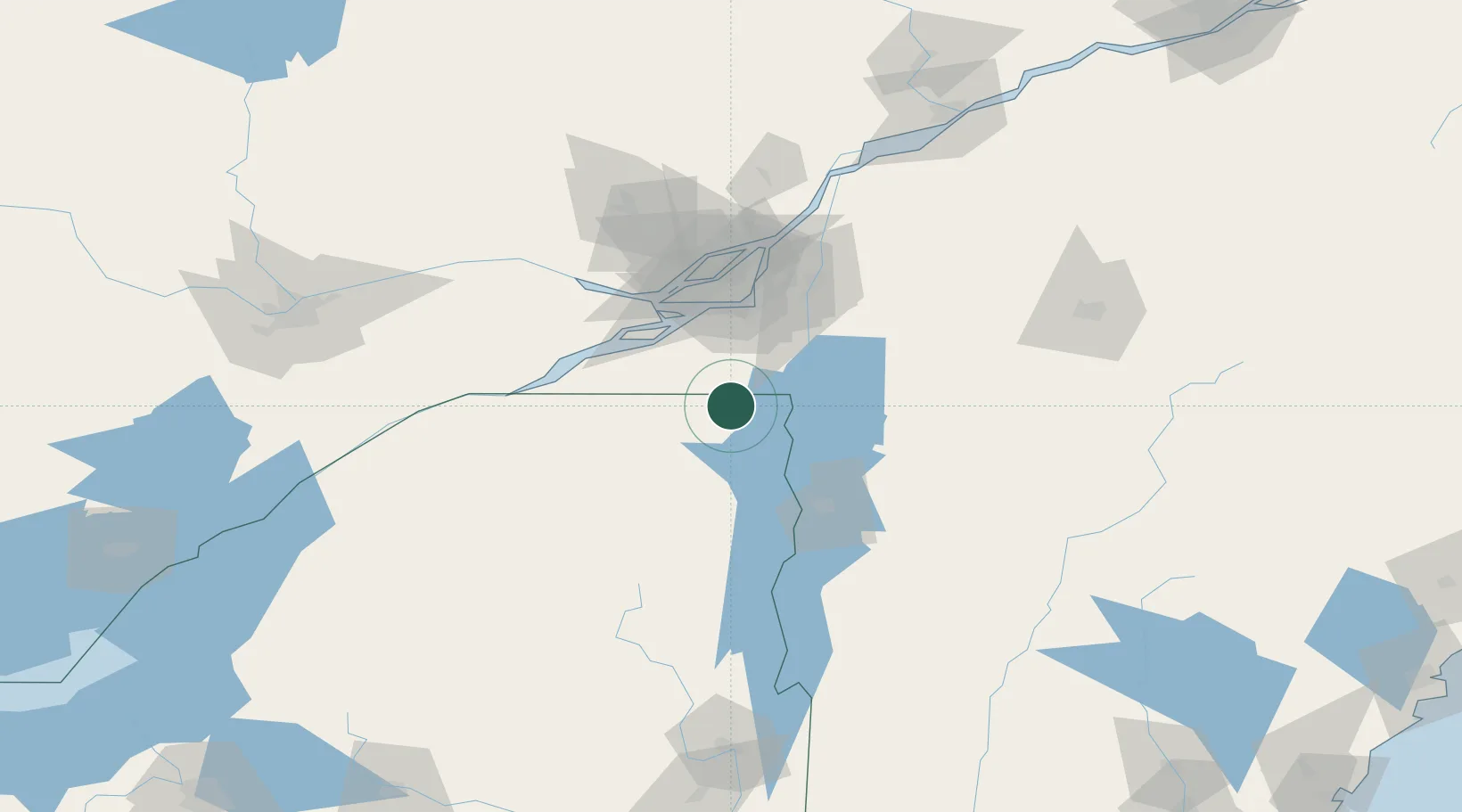
Nearby Logistics Neighbours

Cities
  1. 1Mooers4 km
  2. 2Hemmingford11 km
  3. 3Saint-Paul-de-l'Île-aux-Noix29 km
  4. 4East Alburg33 km
  5. 5Saint-Rémi35 km
Nearest neighbours — logibook spatial index (haversine) over the source coordinates
Ports
  1. 1Beauharnois45 km
  2. 2Coteau Landing56 km
  3. 3St Zotique59 km
  4. 4Vaudreuil59 km
  5. 5St Anicet61 km
Nearest neighbours — logibook spatial index (haversine) over the source coordinates
Trade Zones
  1. 1Greater Montreal Free Zone Center62 km
  2. 2FTZ No. 118 Ogdensburg150 km
  3. 3FTZ No. 109 Watertown209 km
  4. 4FTZ No. 268 Brattleboro247 km
  5. 5FTZ No. 121 Albany249 km
Nearest neighbours — logibook spatial index (haversine) over the source coordinates
DatabookThe Record of Consolidated Knowledge
United States beyond logistics?
Browse databook

All Sources

LocationsUN/LOCODE
UN/LOCODE — free
Portsthe NGA World Port Index
Public domain (US gov)
AirportsOurAirports
Public domain
Trade Zonesthe World Bank SEZ database
CC BY 4.0
Trade ZonesOpen Zone Map
CC BY
← United States locations