UN/LOCODE hub · Canada
CASRM

Saint-Rémi

45.2667°, -73.6000°
6,891
Population
2
Transport functions

Transport Functions

Rail
Road
UN/LOCODE

Hub Profile

Place type
District seat
GeoNames
Region
Quebec
GeoNames
Population
6,891
GeoNames
Time zone
America/Toronto
GeoNames
Elevation
55 m
GeoNames

Location

Location of CASRM
Natural Earth 10m (public domain) · Quebec · CASRM · 45.27, -73.60GoogleOSMYandex

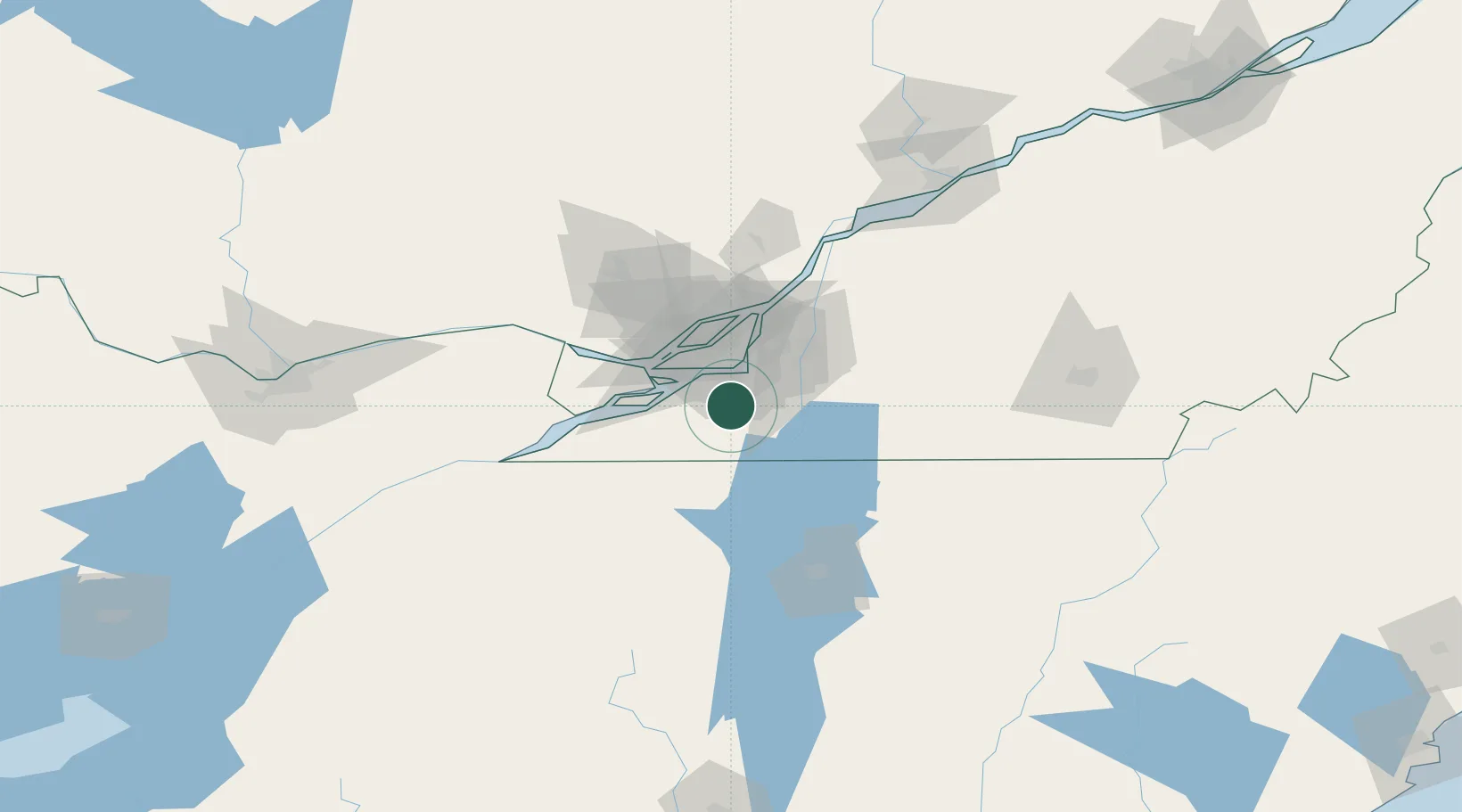
Nearby Logistics Neighbours

Cities
  1. 1Saint-Constant10 km
  2. 2Saint-Jacques-le-Mineur15 km
  3. 3Sainte-Catherine15 km
  4. 4Kahnawake16 km
  5. 5Châteauguay16 km
Nearest neighbours — logibook spatial index (haversine) over the source coordinates
Ports
  1. 1Beauharnois23 km
  2. 2Montreal28 km
  3. 3Vaudreuil37 km
  4. 4Oka Sur Le Lac44 km
  5. 5Coteau Landing47 km
Nearest neighbours — logibook spatial index (haversine) over the source coordinates
Trade Zones
  1. 1Greater Montreal Free Zone Center27 km
  2. 2FTZ No. 118 Ogdensburg162 km
  3. 3FTZ No. 109 Watertown231 km
  4. 4Québec City FTZ251 km
  5. 5FTZ No. 268 Brattleboro279 km
Nearest neighbours — logibook spatial index (haversine) over the source coordinates
DatabookThe Record of Consolidated Knowledge
Canada beyond logistics?
Browse databook

All Sources

LocationsUN/LOCODE
UN/LOCODE — free
LocationsGeoNames
CC BY 4.0
Portsthe NGA World Port Index
Public domain (US gov)
AirportsOurAirports
Public domain
Trade Zonesthe World Bank SEZ database
CC BY 4.0
Trade ZonesOpen Zone Map
CC BY
← Canada locations