Transport Functions
Road
Multimodal
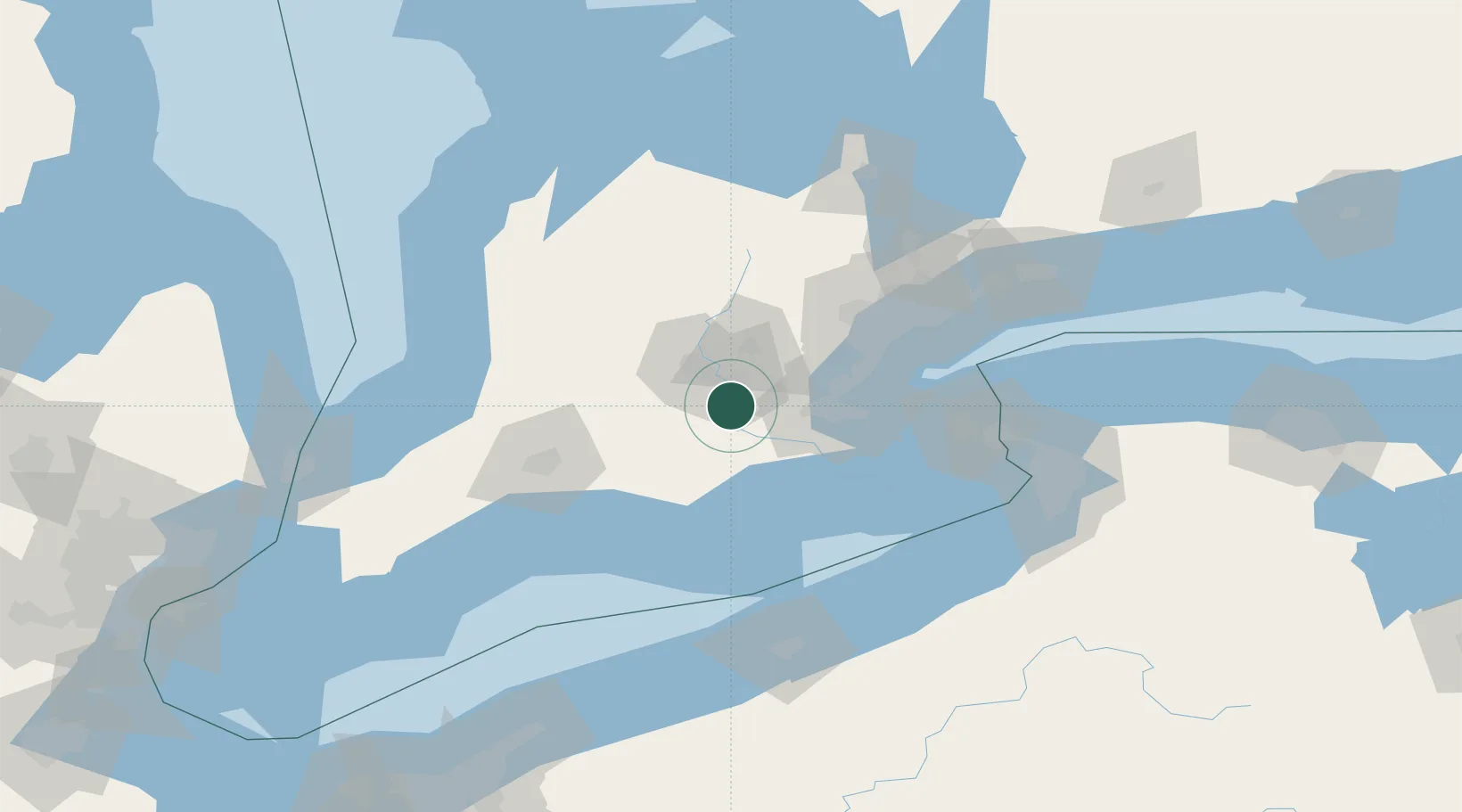
Hub Profile
Place type
Populated place
Region
Ontario
Time zone
America/Toronto
Elevation
105 m
Location
Nearby Logistics Neighbours
Ports
- 1Hamilton41 km
- 2Port Dover55 km
- 3Thorold55 km
- 4Oakville58 km
- 5Clarkson66 km
Airports
Trade Zones
- 1FTZ No. 034 Niagara County101 km
- 2Niagara Foreign Trade Zone107 km
- 3FTZ No. 023 Buffalo128 km
- 4FTZ No. 247 Erie130 km
- 5FTZ No. 210 St. Clair County184 km
DatabookThe Record of Consolidated Knowledge
Canada beyond logistics?