Transport Functions
Multimodal
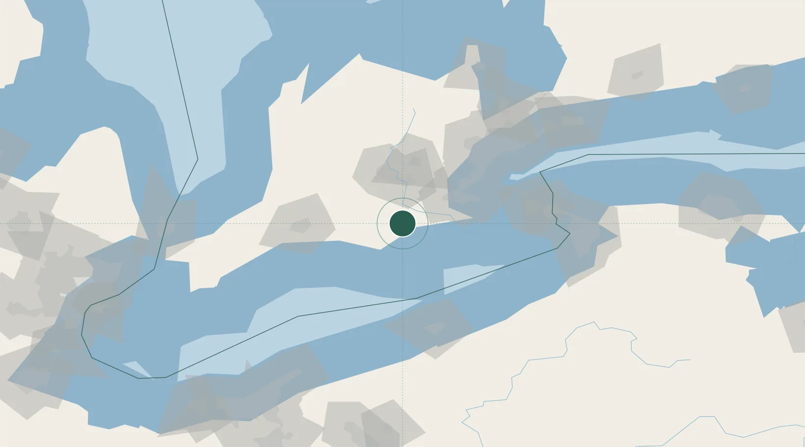
Hub Profile
Place type
Locality
Region
Ontario
Time zone
America/Toronto
Elevation
246 m
Location
Nearby Logistics Neighbours
Cities
- 1Brant11 km
- 2Windham Centre14 km
- 3Delhi22 km
- 4Jarvis25 km
- 5Glen Morris28 km
Ports
- 1Port Dover29 km
- 2Hamilton49 km
- 3Thorold53 km
- 4Port Maitland66 km
- 5Oakville73 km
Airports
Trade Zones
- 1FTZ No. 247 Erie103 km
- 2FTZ No. 034 Niagara County108 km
- 3Niagara Foreign Trade Zone108 km
- 4FTZ No. 023 Buffalo122 km
- 5FTZ No. 210 St. Clair County177 km
DatabookThe Record of Consolidated Knowledge
Canada beyond logistics?