Transport Functions
Port
Road
Hub Profile
Place type
Populated place
Region
Ontario
Time zone
America/Toronto
Elevation
283 m
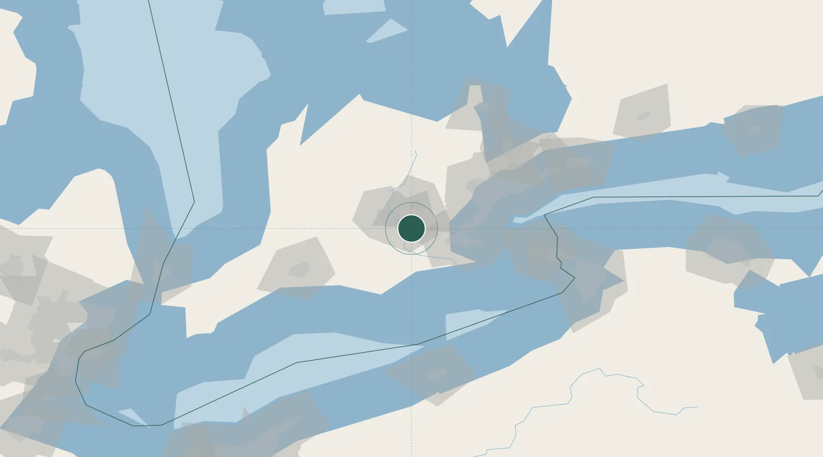
Location
Nearby Logistics Neighbours
Cities
- 1Cambridge2 km
- 2Glen Morris10 km
- 3Brant27 km
- 4Rockwood33 km
- 5New Hamburg34 km
Ports
- 1Hamilton38 km
- 2Oakville52 km
- 3Thorold56 km
- 4Clarkson59 km
- 5Port Credit62 km
Airports
Trade Zones
- 1FTZ No. 034 Niagara County96 km
- 2Niagara Foreign Trade Zone106 km
- 3FTZ No. 023 Buffalo127 km
- 4FTZ No. 247 Erie138 km
- 5FTZ No. 210 St. Clair County190 km
DatabookThe Record of Consolidated Knowledge
Canada beyond logistics?