Transport Functions
Rail
Road
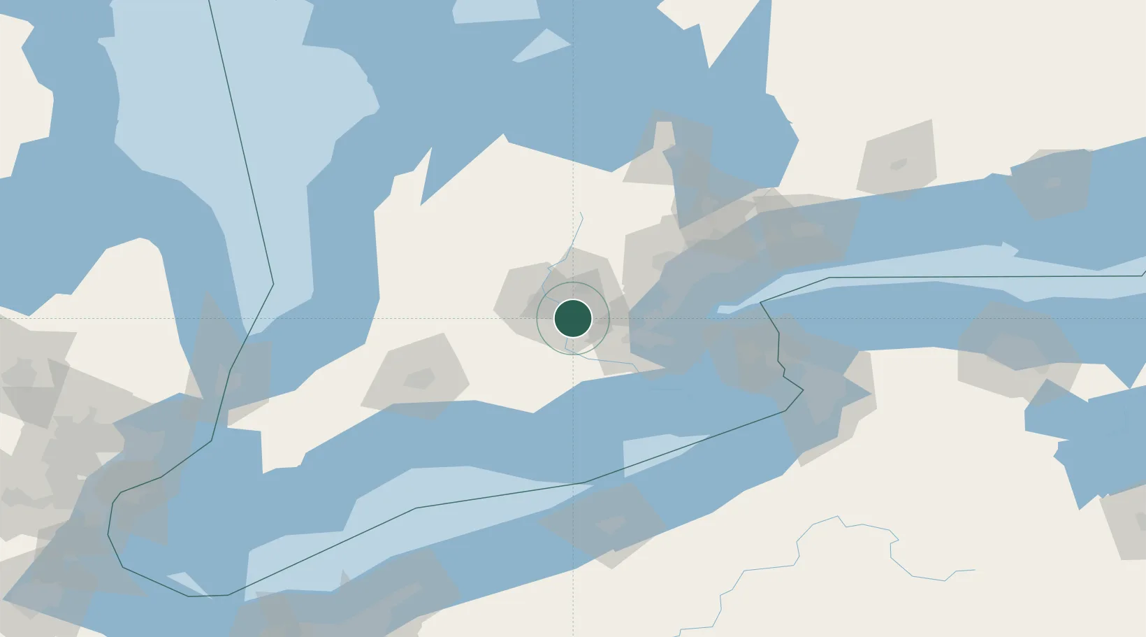
Hub Profile
Place type
Populated place
Region
Ontario
Population
129,920
Time zone
America/Toronto
Elevation
272 m
Location
Nearby Logistics Neighbours
Cities
- 1Galt2 km
- 2Glen Morris11 km
- 3Brant28 km
- 4Rockwood32 km
- 5New Hamburg32 km
Ports
- 1Hamilton40 km
- 2Oakville53 km
- 3Thorold58 km
- 4Clarkson60 km
- 5Port Credit63 km
Airports
Trade Zones
- 1FTZ No. 034 Niagara County98 km
- 2Niagara Foreign Trade Zone107 km
- 3FTZ No. 023 Buffalo129 km
- 4FTZ No. 247 Erie140 km
- 5FTZ No. 210 St. Clair County189 km
DatabookThe Record of Consolidated Knowledge
Canada beyond logistics?