Transport Functions
Multimodal
Hub Profile
Place type
Populated place
Region
Ontario
Population
34,415
Time zone
America/Toronto
Elevation
245 m
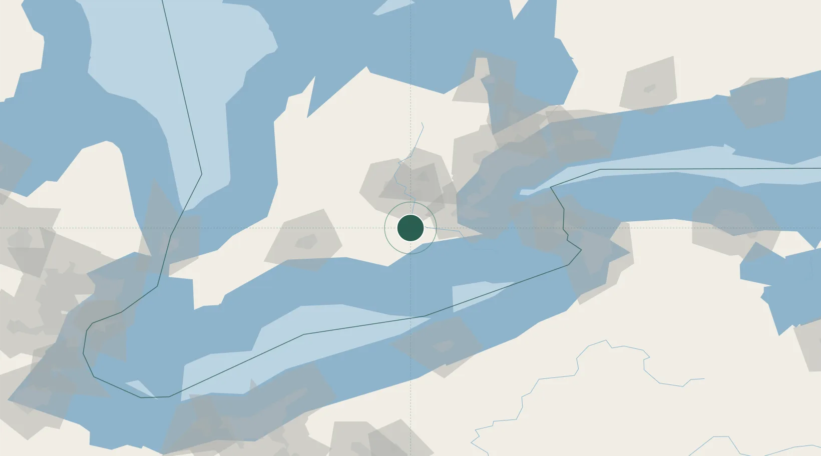
Location
Nearby Logistics Neighbours
Cities
- 1Scotland11 km
- 2Glen Morris17 km
- 3Windham Centre24 km
- 4Galt27 km
- 5Cambridge28 km
Ports
- 1Port Dover40 km
- 2Hamilton44 km
- 3Thorold53 km
- 4Oakville67 km
- 5Port Maitland70 km
Airports
Trade Zones
- 1FTZ No. 034 Niagara County104 km
- 2Niagara Foreign Trade Zone107 km
- 3FTZ No. 247 Erie113 km
- 4FTZ No. 023 Buffalo124 km
- 5FTZ No. 210 St. Clair County179 km
DatabookThe Record of Consolidated Knowledge
Canada beyond logistics?