Small airport · Canada
Tasiujaq AirportCYTQ
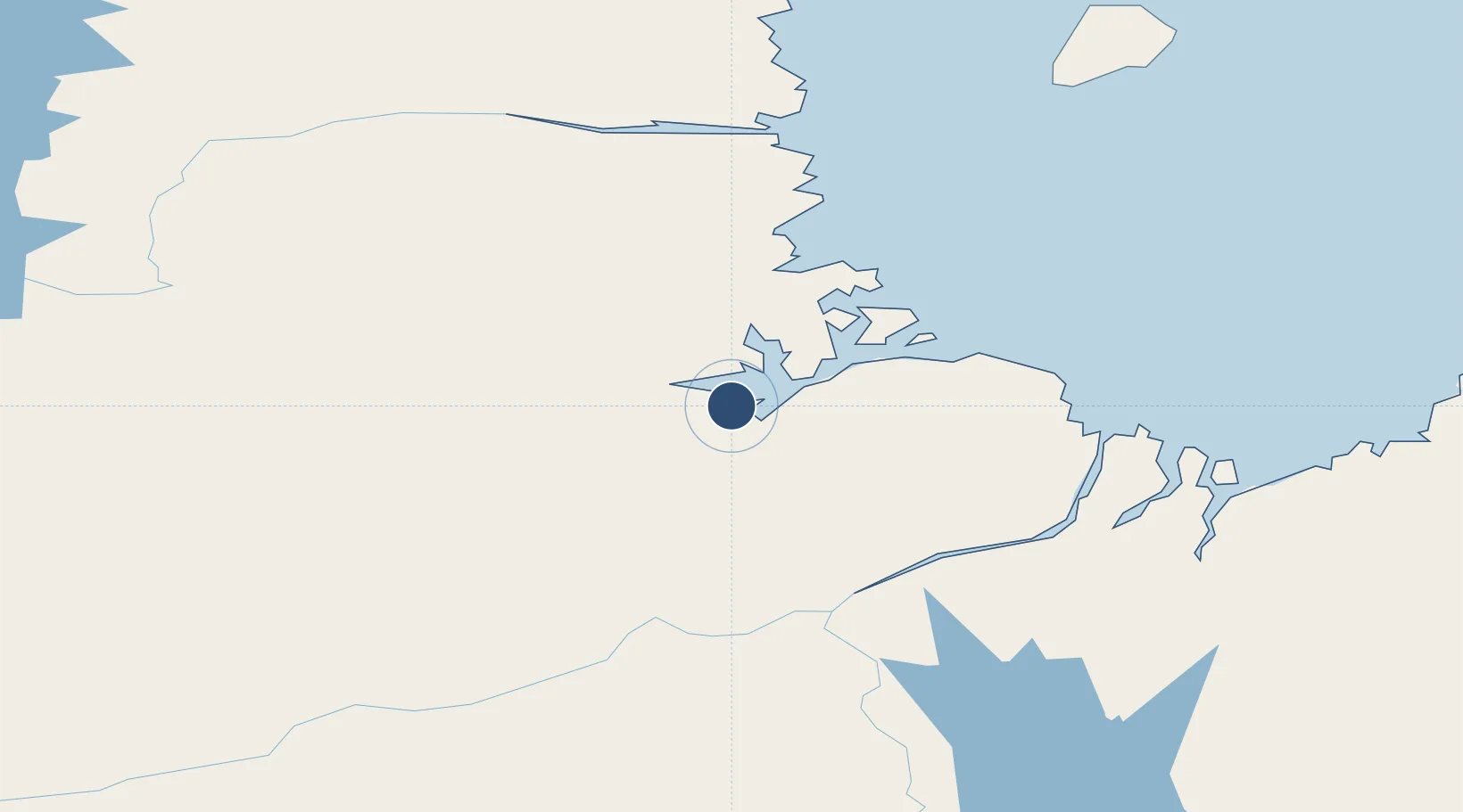
58.6678°, -69.9558°
3,519 ft
Longest runway
1
Runways
122 ft
Elevation
Runway & Layout

Navaids
YTQ NDB Tasiujaq 212 kHz
Runways · 1
| Runway | Dimensions | Surface | True heading | Lit |
|---|---|---|---|---|
| 05/23 | 3,519 × 100ft | GRAVEL | — | — |
Airport Specifications
IATA code
YTQ
ICAO code
CYTQ
Airport class
Small airport
Scheduled service
Yes
Runway surface
GRAVEL
Served city
Tasiujaq
Location
Nearby Logistics Neighbours
Airports
- 1Aupaluk Airport73 km
- 2Kuujjuaq Airport110 km
- 3Kangirsuk Airport151 km
- 4Kangiqsualujjuaq (Georges River) Airport229 km
- 5Quaqtaq Airport265 km
Cities
- 1Kuujjuaq111 km
- 2Seven Islands Bay365 km
- 3Hebron429 km
- 4Tórshavn474 km
- 5Edwards Cove487 km
Ports
- 1Deception Bay466 km
- 2Nain546 km
- 3Goose Bay840 km
- 4Pangnirtung858 km
- 5Sept Iles969 km
Trade Zones
- 1FTZ No. 179 Madawaska1271 km
- 2Québec City FTZ1319 km
- 3Crossroads Business Park1472 km
- 4Greater Montreal Free Zone Center1483 km
- 5Saint John1512 km
DatabookThe Record of Consolidated Knowledge
Canada beyond logistics?