UN/LOCODE hub · Canada
CASJR
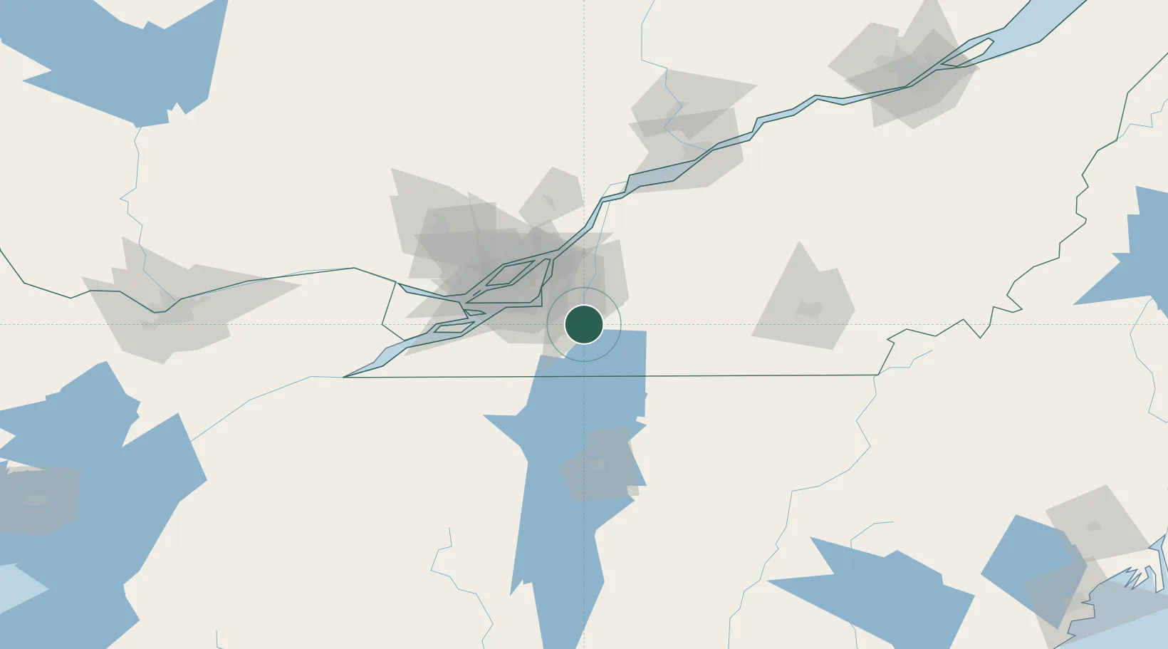
Saint-Jean-sur-Richelieu
45.3167°, -73.2667°
98,036
Population
2
Transport functions
Transport Functions
Rail
Road
Hub Profile
Place type
Populated place
Region
Quebec
Population
98,036
Time zone
America/Toronto
Elevation
32 m
Location
Nearby Logistics Neighbours
Cities
- 1Saint-Jacques-le-Mineur12 km
- 2Saint-Sébastien21 km
- 3Farnham23 km
- 4Saint-Hubert23 km
- 5Saint-Constant24 km
Ports
- 1Montreal31 km
- 2Beauharnois48 km
- 3Vaudreuil61 km
- 4Contrecour63 km
- 5Oka Sur Le Lac66 km
Airports
Trade Zones
- 1Greater Montreal Free Zone Center31 km
- 2FTZ No. 118 Ogdensburg189 km
- 3Québec City FTZ229 km
- 4FTZ No. 109 Watertown255 km
- 5FTZ No. 263 Auburn277 km
DatabookThe Record of Consolidated Knowledge
Canada beyond logistics?