UN/LOCODE hub · Canada
CAETN

Etang-du-Nord

47.3667°, -61.9333°
2
Transport functions

Transport Functions

Port
Multimodal
UN/LOCODE

Hub Profile

Region
QC
GeoNames

Location

Location of CAETN
Natural Earth 10m (public domain) · QC · CAETN · 47.37, -61.93GoogleOSMYandex

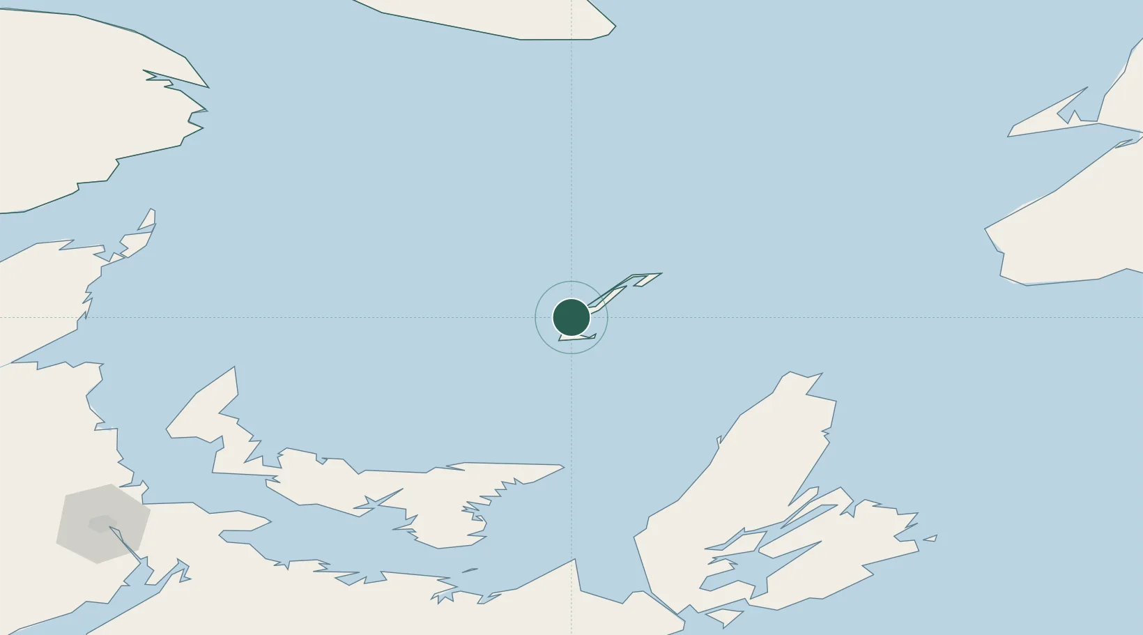
Nearby Logistics Neighbours

Cities
  1. 1Elmira104 km
  2. 2Chéticamp109 km
  3. 3Morell122 km
  4. 4Dingwall123 km
  5. 5York147 km
Nearest neighbours — logibook spatial index (haversine) over the source coordinates
Ports
  1. 1Georgetown139 km
  2. 2Charlottetown156 km
  3. 3Summerside177 km
  4. 4North Sydney181 km
  5. 5Sydney189 km
Nearest neighbours — logibook spatial index (haversine) over the source coordinates
Airports
  1. 1Îles-de-la-Madeleine Airport13 km
  2. 2Charlottetown Airport150 km
  3. 3Summerside Airport177 km
  4. 4Port Hawkesbury Airport195 km
  5. 5Sydney / J.A. Douglas McCurdy Airport196 km
Nearest neighbours — logibook spatial index (haversine) over the source coordinates
Trade Zones
  1. 1Cape Breton Regional Municipality Foreign Trade Zone161 km
  2. 2Halifax Gateway328 km
  3. 3Saint John394 km
  4. 4FTZ No. 179 Madawaska483 km
  5. 5Crossroads Business Park573 km
Nearest neighbours — logibook spatial index (haversine) over the source coordinates
DatabookThe Record of Consolidated Knowledge
Canada beyond logistics?
Browse databook

All Sources

LocationsUN/LOCODE
UN/LOCODE — free
Portsthe NGA World Port Index
Public domain (US gov)
AirportsOurAirports
Public domain
Trade Zonesthe World Bank SEZ database
CC BY 4.0
Trade ZonesOpen Zone Map
CC BY
← Canada locations