Medium airport · Canada
Sydney / J.A. Douglas McCurdy AirportCYQY
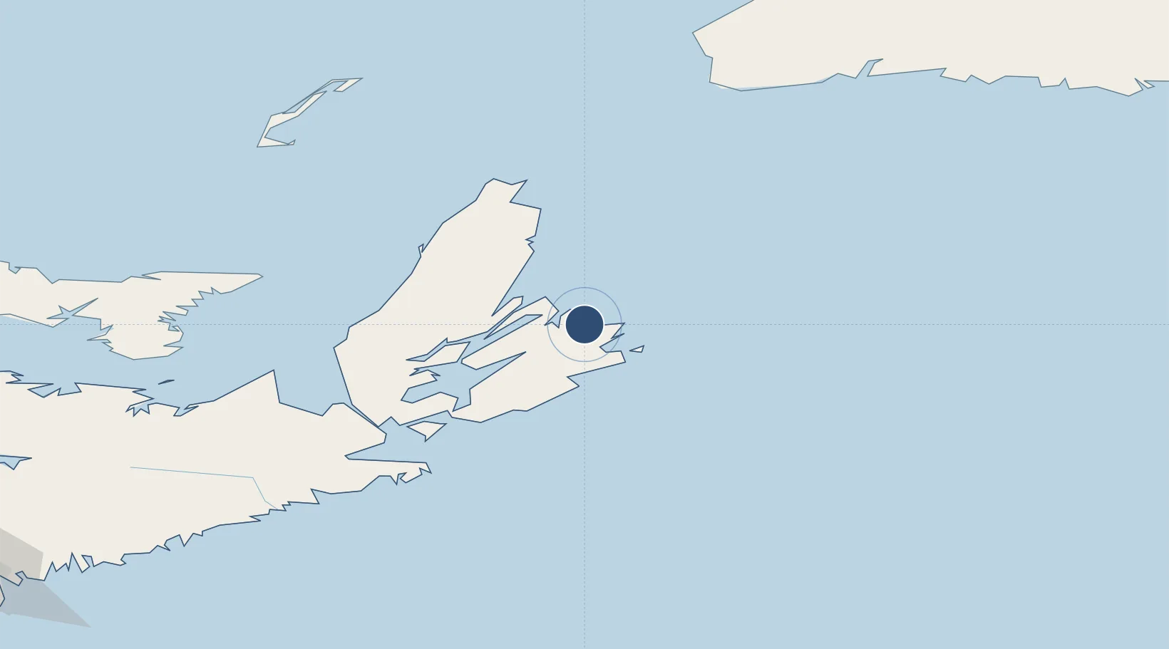
46.1611°, -60.0498°
7,070 ft
Longest runway
2
Runways
203 ft
Elevation
Runway & Layout

Radio Frequencies
CNTR
118.6 MHz
MONCTON CNTR
FSS
122 MHz
RDO
RCO
122 MHz
CHARLOTTETOWN RDO
Navaids
QY NDB Sydney 263 kHz
YQY VORTAC Sydney 114.90 MHz
ZQY NDB Bras D Or 219 kHz
ZYD NDB Glace Bay 201 kHz
Runways · 2
| Runway | Dimensions | Surface | True heading | Lit |
|---|---|---|---|---|
| 06/24 | 7,070 × 200ft | Asphalt | 046° | ✓ |
| 18/36 | 5,997 × 150ft | Asphalt | 165° | ✓ |
Airport Specifications
IATA code
YQY
ICAO code
CYQY
Airport class
Medium airport
Scheduled service
Yes
Runway surface
Asphalt
Served city
Sydney
Location
Nearby Logistics Neighbours
Airports
- 1Port Hawkesbury Airport116 km
- 2Îles-de-la-Madeleine Airport193 km
- 3Charlottetown Airport237 km
- 4Fox Harbour Airport265 km
- 5Stephenville Dymond International Airport288 km
Cities
- 1Glace Bay8 km
- 2Millville25 km
- 3Louisbourg28 km
- 4Neil's Harbour40 km
- 5Saint-Peters85 km
Ports
- 1Sydney12 km
- 2North Sydney17 km
- 3Louisbourg28 km
- 4Port Hawkesbury119 km
- 5Port Hastings119 km
Trade Zones
- 1Cape Breton Regional Municipality Foreign Trade Zone54 km
- 2Halifax Gateway323 km
- 3Saint John477 km
- 4Crossroads Business Park514 km
- 5FTZ No. 179 Madawaska644 km
DatabookThe Record of Consolidated Knowledge
Canada beyond logistics?