Transport Functions
Rail
Road
Multimodal
Hub Profile
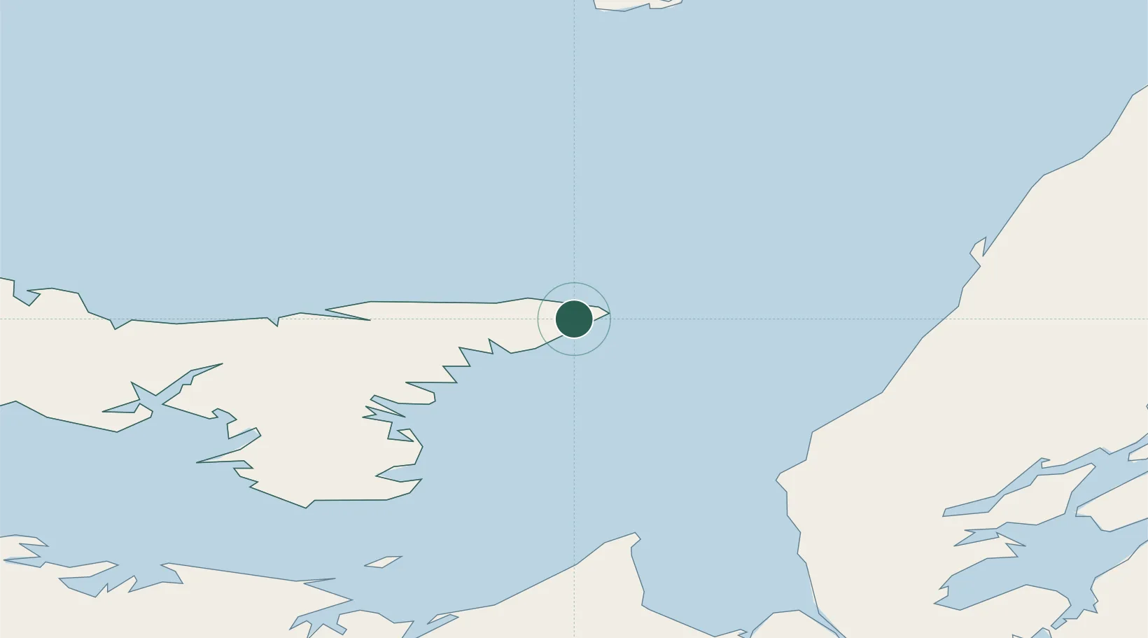
Place type
Locality
Region
Prince Edward Island
Time zone
America/Halifax
Elevation
35 m
Location
Nearby Logistics Neighbours
Cities
- 1Morell49 km
- 2Beach Point56 km
- 3Mabou67 km
- 4Vernon Bridge69 km
- 5York80 km
Ports
- 1Georgetown45 km
- 2Charlottetown85 km
- 3Pictou99 km
- 4Port Hastings101 km
- 5Port Hawkesbury106 km
Airports
- 1Charlottetown Airport83 km
- 2Port Hawkesbury Airport102 km
- 3Îles-de-la-Madeleine Airport112 km
- 4Fox Harbour Airport124 km
- 5Summerside Airport135 km
Trade Zones
- 1Cape Breton Regional Municipality Foreign Trade Zone105 km
- 2Halifax Gateway231 km
- 3Saint John336 km
- 4FTZ No. 179 Madawaska486 km
- 5FTZ No. 058 Bangor555 km
DatabookThe Record of Consolidated Knowledge
Canada beyond logistics?