Transport Functions
Port
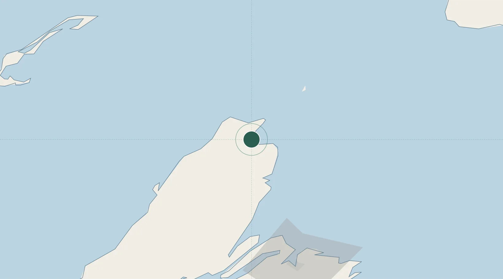
Hub Profile
Place type
Populated place
Region
Nova Scotia
Population
600
Time zone
America/Halifax
Elevation
7 m
Location
Nearby Logistics Neighbours
Cities
- 1Chéticamp52 km
- 2Millville71 km
- 3Neil's Harbour73 km
- 4Glace Bay87 km
- 5Louisbourg115 km
Ports
- 1North Sydney78 km
- 2Sydney86 km
- 3Louisbourg116 km
- 4Port Aux Basques125 km
- 5Port Hastings156 km
Airports
Trade Zones
- 1Cape Breton Regional Municipality Foreign Trade Zone84 km
- 2Halifax Gateway348 km
- 3Saint John468 km
- 4Crossroads Business Park494 km
- 5FTZ No. 179 Madawaska597 km
DatabookThe Record of Consolidated Knowledge
Canada beyond logistics?