Transport Functions
Rail
Road
Hub Profile
Place type
Populated place
Region
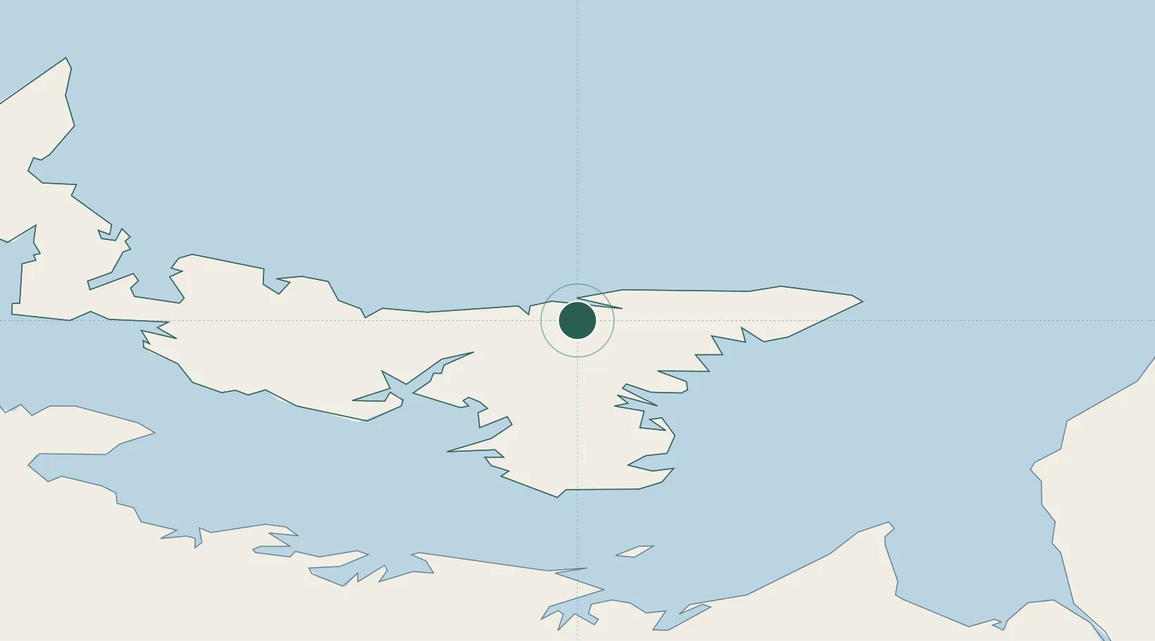
Prince Edward Island
Time zone
America/Halifax
Elevation
1 m
Location
Nearby Logistics Neighbours
Cities
- 1Vernon Bridge28 km
- 2York32 km
- 3Charlottetown38 km
- 4Beach Point46 km
- 5Elmira49 km
Ports
- 1Georgetown27 km
- 2Charlottetown38 km
- 3Pictou82 km
- 4Summerside83 km
- 5Port Hastings131 km
Airports
- 1Charlottetown Airport35 km
- 2Fox Harbour Airport83 km
- 3Summerside Airport87 km
- 4Port Hawkesbury Airport132 km
- 5Îles-de-la-Madeleine Airport134 km
Trade Zones
- 1Cape Breton Regional Municipality Foreign Trade Zone152 km
- 2Halifax Gateway206 km
- 3Saint John289 km
- 4FTZ No. 179 Madawaska440 km
- 5FTZ No. 058 Bangor508 km
DatabookThe Record of Consolidated Knowledge
Canada beyond logistics?