Transport Functions
Port
Road
Hub Profile
Place type
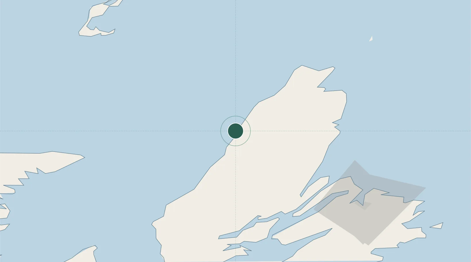
Populated place
Region
Nova Scotia
Time zone
America/Halifax
Location
Nearby Logistics Neighbours
Cities
- 1Dingwall52 km
- 2Neil's Harbour54 km
- 3Millville65 km
- 4Mabou67 km
- 5Orangedale80 km
Ports
- 1North Sydney74 km
- 2Sydney81 km
- 3Port Hastings112 km
- 4Louisbourg112 km
- 5Port Hawkesbury114 km
Airports
- 1Sydney / J.A. Douglas McCurdy Airport90 km
- 2Îles-de-la-Madeleine Airport107 km
- 3Port Hawkesbury Airport110 km
- 4Charlottetown Airport166 km
- 5Fox Harbour Airport206 km
Trade Zones
- 1Cape Breton Regional Municipality Foreign Trade Zone54 km
- 2Halifax Gateway296 km
- 3Saint John418 km
- 4Crossroads Business Park546 km
- 5FTZ No. 179 Madawaska561 km
DatabookThe Record of Consolidated Knowledge
Canada beyond logistics?