Medium airport · Canada
Îles-de-la-Madeleine AirportCYGR
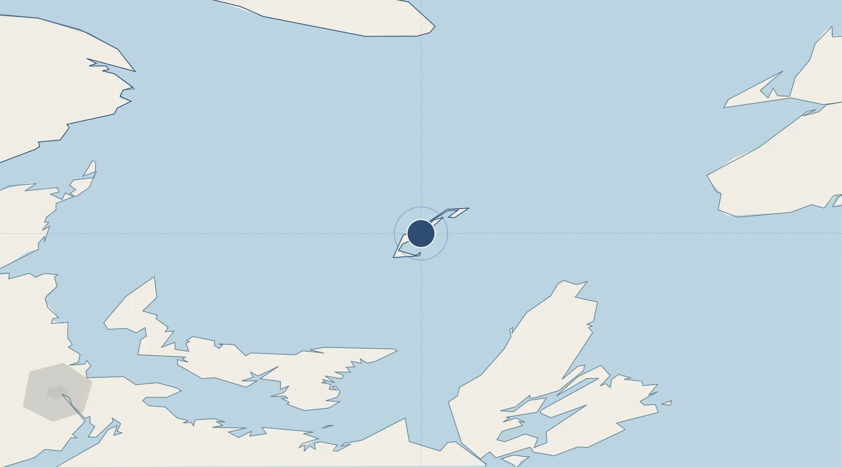
47.4252°, -61.7786°
4,500 ft
Longest runway
2
Runways
35 ft
Elevation
Runway & Layout

Radio Frequencies
CNTR
134.35 MHz
MONCTON CNTR
FSS
123.15 MHz
MADELEINE RDO
RCO
126.7 MHz
QUEBEC RDO
RDO
123.15 MHz
MF
Navaids
GR NDB Grindstone 370 kHz
YGR VOR-DME Grindstone 112.00 MHz
Runways · 2
| Runway | Dimensions | Surface | True heading | Lit |
|---|---|---|---|---|
| 07/25 | 4,500 × 150ft | Asphalt | 053° | ✓ |
| 16/34 | 3,600 × 150ft | Asphalt | 139° | ✓ |
Airport Specifications
IATA code
YGR
ICAO code
CYGR
Airport class
Medium airport
Scheduled service
Yes
Runway surface
Asphalt
Served city
Les Îles-de-la-Madeleine
Location
Nearby Logistics Neighbours
Airports
- 1Charlottetown Airport163 km
- 2Summerside Airport191 km
- 3Sydney / J.A. Douglas McCurdy Airport193 km
- 4Port Hawkesbury Airport199 km
- 5Fox Harbour Airport215 km
Cities
- 1Etang-du-Nord13 km
- 2Chéticamp107 km
- 3Elmira112 km
- 4Dingwall115 km
- 5Morell134 km
Ports
- 1Georgetown150 km
- 2Charlottetown168 km
- 3North Sydney178 km
- 4Sydney186 km
- 5Summerside190 km
Trade Zones
- 1Cape Breton Regional Municipality Foreign Trade Zone160 km
- 2Halifax Gateway338 km
- 3Saint John407 km
- 4FTZ No. 179 Madawaska494 km
- 5Crossroads Business Park560 km
DatabookThe Record of Consolidated Knowledge
Canada beyond logistics?