Medium airport · Canada

Port Hawkesbury AirportCYPD
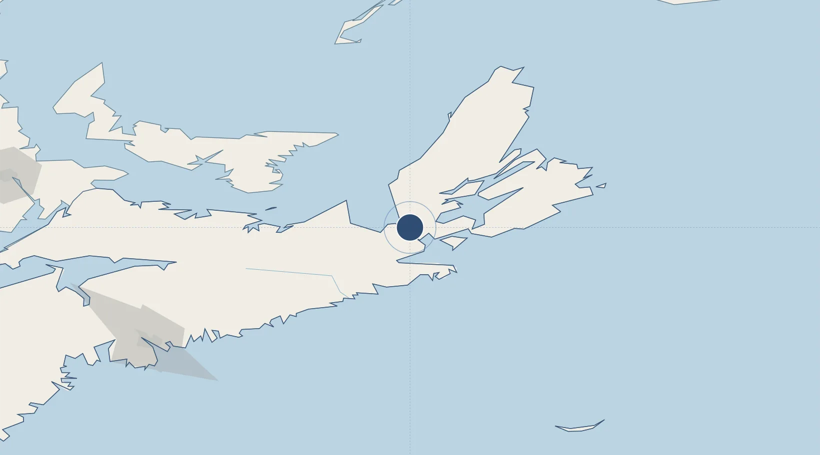
45.6567°, -61.3681°
5,000 ft
Longest runway
1
Runways
377 ft
Elevation

Runway & Layout

Port Hawkesbury Airport runway & taxiway layout
Runway & taxiway layout — OpenStreetMap (ODbL) / OurAirports

Radio Frequencies

RDO
126.7 MHz
HALIFAX RDO
UNIC
122.8 MHz
ATF/UNICOM
OurAirports

Runways · 1

RunwayDimensions SurfaceTrue headingLit
11/29 5,000 × 150ft Asphalt 090°
OurAirports

Airport Specifications

IATA code
YPS
OurAirports
ICAO code
CYPD
OurAirports
Airport class
Medium airport
OurAirports
Scheduled service
No
OurAirports
Runway surface
Asphalt
OurAirports
Served city
Port Hawkesbury
OurAirports

Location

Location of CYPD
Natural Earth 10m (public domain) · Nova Scotia · CYPD · 45.66, -61.37GoogleOSMYandex

Nearby Logistics Neighbours

Airports
  1. 1Sydney / J.A. Douglas McCurdy Airport116 km
  2. 2Charlottetown Airport153 km
  3. 3Fox Harbour Airport164 km
  4. 4Halifax / Stanfield International Airport188 km
  5. 5Îles-de-la-Madeleine Airport199 km
Nearest neighbours — logibook spatial index (haversine) over the source coordinates
Cities
  1. 1Point Tupper6 km
  2. 2Arichat32 km
  3. 3Orangedale34 km
  4. 4Saint-Peters39 km
  5. 5Mabou46 km
Nearest neighbours — logibook spatial index (haversine) over the source coordinates
Ports
  1. 1Port Hastings3 km
  2. 2Port Hawkesbury5 km
  3. 3Stormont56 km
  4. 4Goldsboro57 km
  5. 5Pictou105 km
Nearest neighbours — logibook spatial index (haversine) over the source coordinates
Trade Zones
  1. 1Cape Breton Regional Municipality Foreign Trade Zone74 km
  2. 2Halifax Gateway207 km
  3. 3Saint John369 km
  4. 4FTZ No. 179 Madawaska564 km
  5. 5FTZ No. 058 Bangor591 km
Nearest neighbours — logibook spatial index (haversine) over the source coordinates
DatabookThe Record of Consolidated Knowledge
Canada beyond logistics?
Browse databook

All Sources

AirportsOurAirports
Public domain
Portsthe NGA World Port Index
Public domain (US gov)
LocationsUN/LOCODE
UN/LOCODE — free
Trade Zonesthe World Bank SEZ database
CC BY 4.0
Trade ZonesOpen Zone Map
CC BY
InfrastructureOpenStreetMap
ODbL 1.0
← Canada airports