Transport Functions
Rail
Road
Hub Profile
Place type
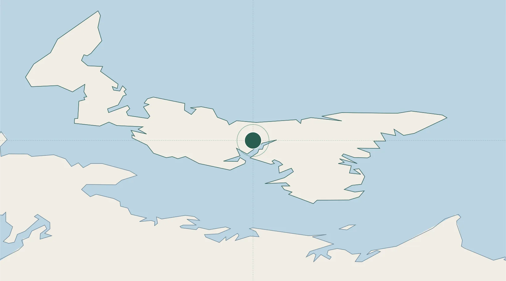
Populated place
Region
Prince Edward Island
Time zone
America/Halifax
Elevation
44 m
Location
Nearby Logistics Neighbours
Cities
- 1Charlottetown10 km
- 2Vernon Bridge22 km
- 3Breadalbane31 km
- 4Morell32 km
- 5Prince Edward Island45 km
Ports
- 1Charlottetown10 km
- 2Georgetown46 km
- 3Summerside53 km
- 4Pictou78 km
- 5Port Hastings151 km
Airports
Trade Zones
- 1Cape Breton Regional Municipality Foreign Trade Zone182 km
- 2Halifax Gateway189 km
- 3Saint John258 km
- 4FTZ No. 179 Madawaska413 km
- 5FTZ No. 058 Bangor476 km
DatabookThe Record of Consolidated Knowledge
Canada beyond logistics?