Transport Functions
Rail
Road
Hub Profile
Place type
Populated place
Region
Alberta
Time zone
America/Edmonton
Elevation
815 m
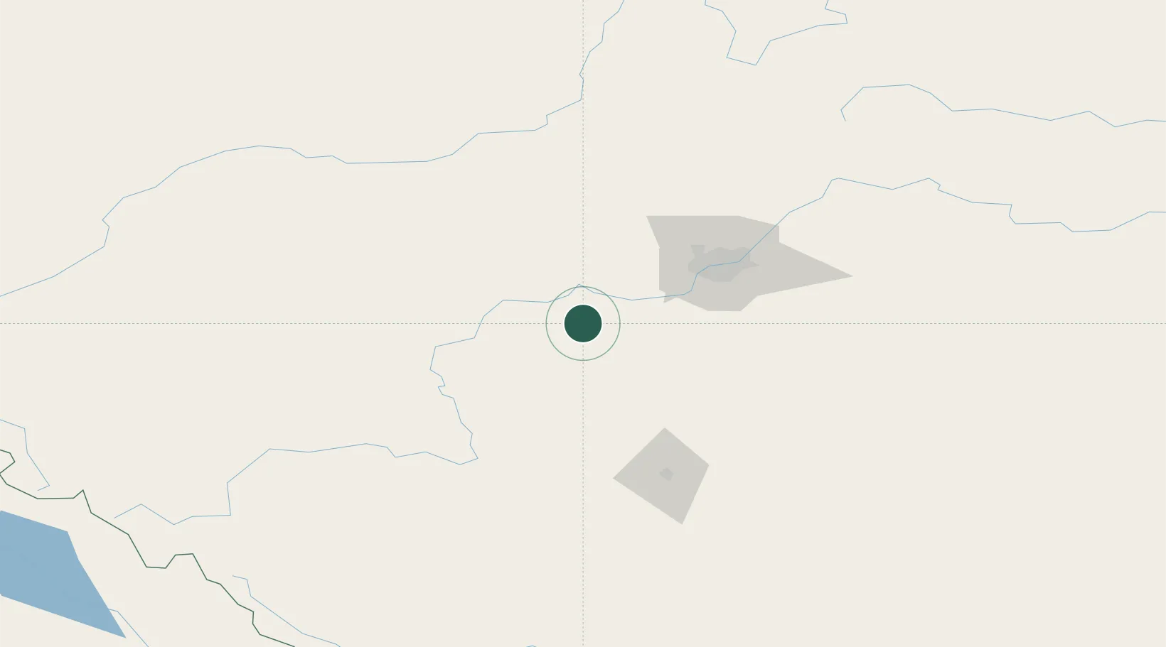
Location
Nearby Logistics Neighbours
Cities
- 1Sunnybrook9 km
- 2Thorsby19 km
- 3Winfield25 km
- 4Duffield39 km
- 5Acheson54 km
Ports
- 1Mission City712 km
- 2Port Coquitlam734 km
- 3Port Moody737 km
- 4Fraser Mills739 km
- 5New Westminster744 km
Airports
- 1Edmonton International Airport51 km
- 2Red Deer Regional Airport115 km
- 3Whitecourt Airport144 km
- 4Edson Airport149 km
- 5Calgary International Airport231 km
Trade Zones
- 1Port Alberta - Edmonton FTZ83 km
- 2Calgary Region Inland Port238 km
- 3FTZ No. 242 Boundary County523 km
- 4FTZ No. 187 Toole County528 km
- 5PrInce George Logistics Park563 km
DatabookThe Record of Consolidated Knowledge
Canada beyond logistics?