Transport Functions
Rail
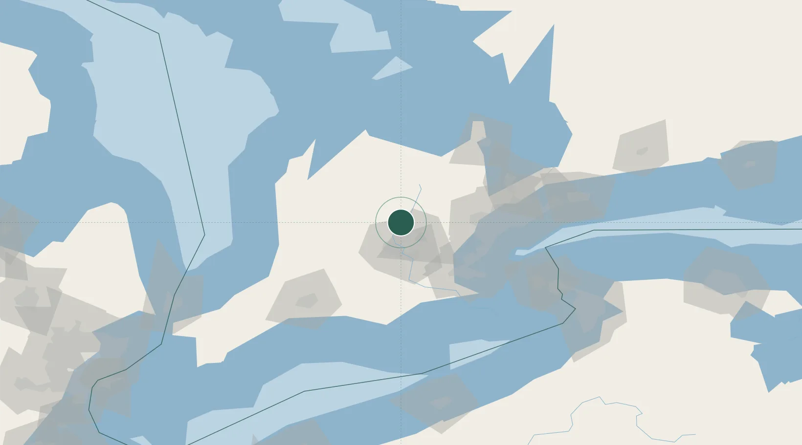
Hub Profile
Place type
Populated place
Region
Ontario
Population
7,800
Time zone
America/Toronto
Elevation
388 m
Location
Nearby Logistics Neighbours
Ports
- 1Hamilton67 km
- 2Oakville68 km
- 3Port Credit70 km
- 4Clarkson70 km
- 5Toronto85 km
Airports
Trade Zones
- 1FTZ No. 034 Niagara County114 km
- 2Niagara Foreign Trade Zone130 km
- 3FTZ No. 023 Buffalo155 km
- 4FTZ No. 247 Erie176 km
- 5FTZ No. 210 St. Clair County194 km
DatabookThe Record of Consolidated Knowledge
Canada beyond logistics?