Transport Functions
Port
Road
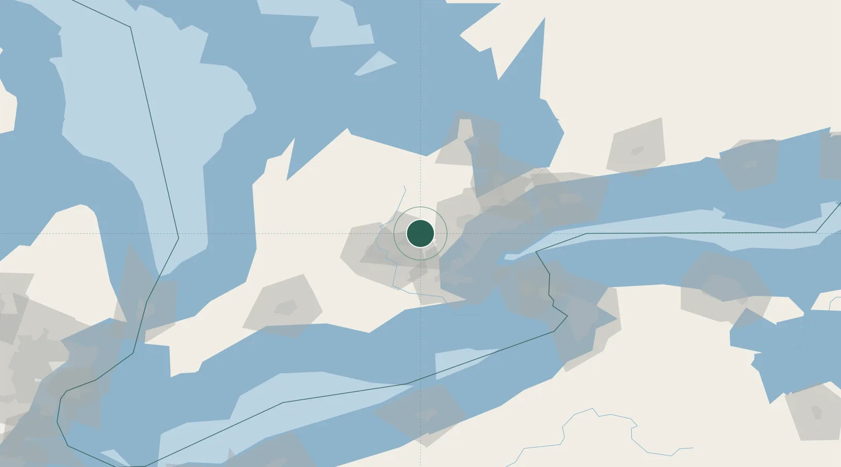
Hub Profile
Place type
Populated place
Region
Ontario
Population
4,629
Time zone
America/Toronto
Elevation
360 m
Location
Nearby Logistics Neighbours
Cities
- 1Limehouse12 km
- 2Halton Hills15 km
- 3Georgetown18 km
- 4Norval22 km
- 5Belfountain23 km
Ports
- 1Oakville43 km
- 2Clarkson45 km
- 3Port Credit45 km
- 4Hamilton47 km
- 5Toronto60 km
Airports
Trade Zones
- 1FTZ No. 034 Niagara County89 km
- 2Niagara Foreign Trade Zone105 km
- 3FTZ No. 023 Buffalo131 km
- 4FTZ No. 247 Erie167 km
- 5FTZ No. 210 St. Clair County213 km
DatabookThe Record of Consolidated Knowledge
Canada beyond logistics?