Transport Functions
Rail
Road
Hub Profile
Place type
Populated place
Region
Ontario
Time zone
America/Toronto
Elevation
460 m
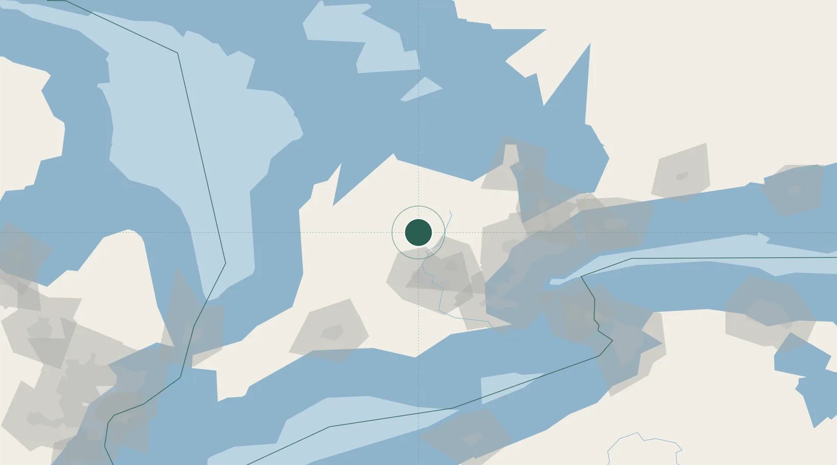
Location
Nearby Logistics Neighbours
Cities
- 1Belwood18 km
- 2Elora19 km
- 3Palmerston25 km
- 4Shelburne37 km
- 5Clifford38 km
Ports
- 1Collingwood78 km
- 2Thornbury82 km
- 3Port Credit83 km
- 4Oakville83 km
- 5Clarkson84 km
Airports
Trade Zones
- 1FTZ No. 034 Niagara County128 km
- 2Niagara Foreign Trade Zone146 km
- 3FTZ No. 023 Buffalo171 km
- 4FTZ No. 247 Erie194 km
- 5FTZ No. 210 St. Clair County196 km
DatabookThe Record of Consolidated Knowledge
Canada beyond logistics?