Transport Functions
Port
Multimodal
Hub Profile
Place type
Populated place
Region
Ontario
Time zone
America/Toronto
Elevation
437 m
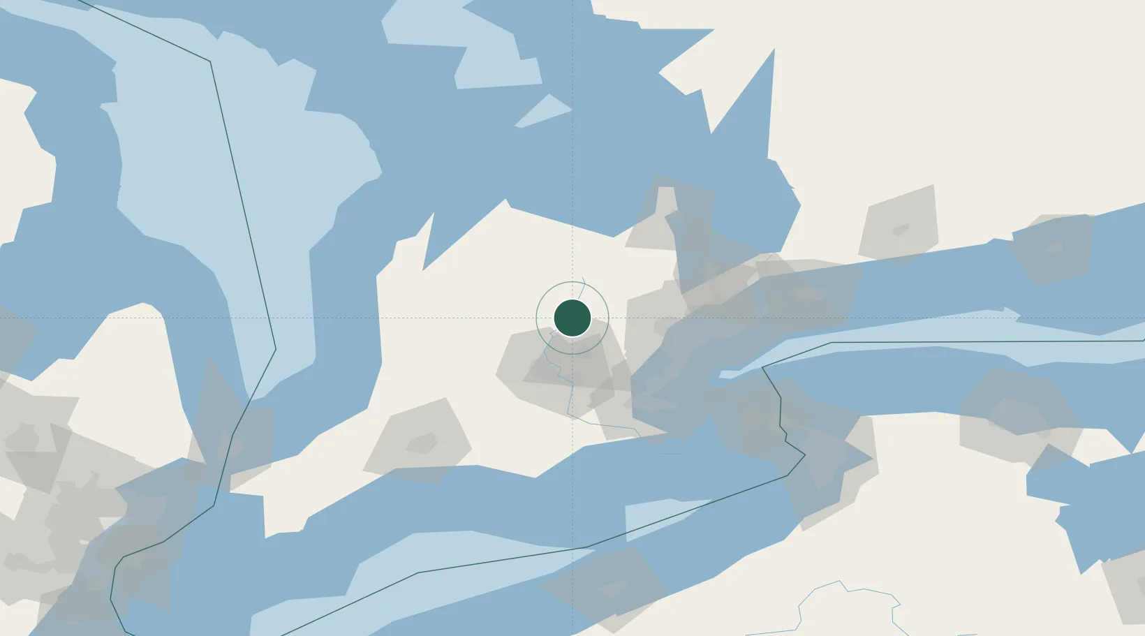
Location
Nearby Logistics Neighbours
Cities
- 1Elora12 km
- 2Arthur18 km
- 3Rockwood23 km
- 4Belfountain27 km
- 5Limehouse32 km
Ports
- 1Port Credit65 km
- 2Oakville65 km
- 3Clarkson66 km
- 4Hamilton69 km
- 5Toronto78 km
Airports
Trade Zones
- 1FTZ No. 034 Niagara County110 km
- 2Niagara Foreign Trade Zone128 km
- 3FTZ No. 023 Buffalo154 km
- 4FTZ No. 247 Erie185 km
- 5FTZ No. 210 St. Clair County206 km
DatabookThe Record of Consolidated Knowledge
Canada beyond logistics?