Transport Functions
Rail
Road
Hub Profile
Place type
Populated place
Region
Quebec
Population
34,426
Time zone
America/Toronto
Elevation
131 m
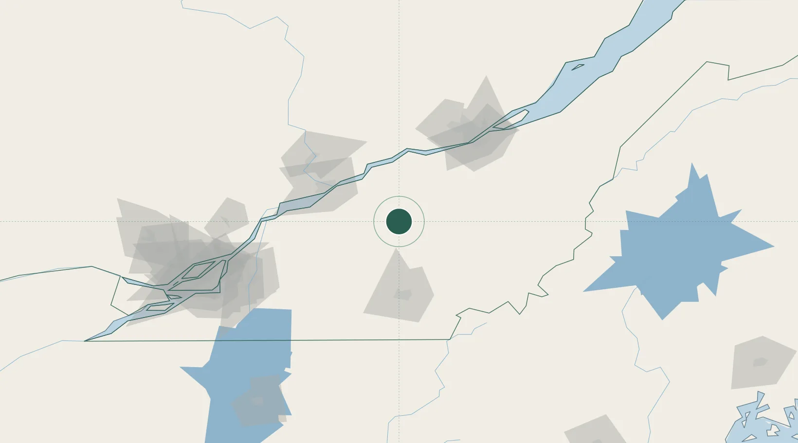
Location
Nearby Logistics Neighbours
Cities
- 1Saint-Christophe-d'Arthabaska3 km
- 2Princeville14 km
- 3Daveluyville22 km
- 4Plessisville23 km
- 5Notre-Dame-du-Bon-Conseil31 km
Ports
- 1Port De Becancour51 km
- 2Trois Rivieres57 km
- 3Sorel90 km
- 4Contrecour98 km
- 5Quebec102 km
Airports
Trade Zones
- 1Québec City FTZ102 km
- 2Greater Montreal Free Zone Center139 km
- 3FTZ No. 186 Waterville243 km
- 4FTZ No. 263 Auburn257 km
- 5FTZ No. 058 Bangor281 km
DatabookThe Record of Consolidated Knowledge
Canada beyond logistics?