UN/LOCODE hub · Canada
CAPCE

Princeville

46.1667°, -71.8833°
5,693
Population
2
Transport functions

Transport Functions

Rail
Road
UN/LOCODE

Hub Profile

Place type
Populated place
GeoNames
Region
Quebec
GeoNames
Population
5,693
GeoNames
Time zone
America/Toronto
GeoNames
Elevation
160 m
GeoNames

Location

Location of CAPCE
Natural Earth 10m (public domain) · Quebec · CAPCE · 46.17, -71.88GoogleOSMYandex

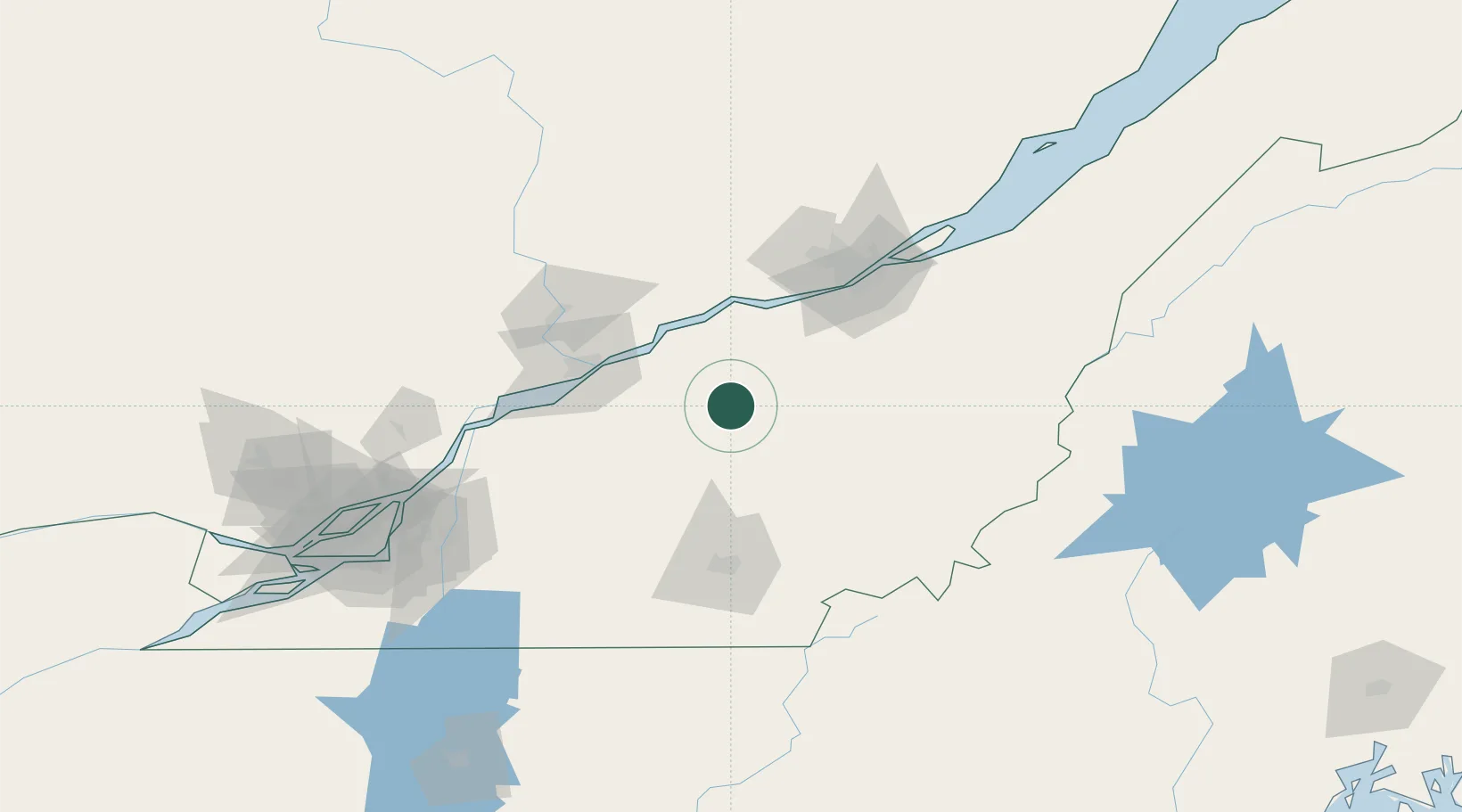
Nearby Logistics Neighbours

Cities
  1. 1Plessisville10 km
  2. 2Victoriaville14 km
  3. 3Saint-Christophe-d'Arthabaska15 km
  4. 4Daveluyville20 km
  5. 5Manseau24 km
Nearest neighbours — logibook spatial index (haversine) over the source coordinates
Ports
  1. 1Port De Becancour46 km
  2. 2Trois Rivieres55 km
  3. 3Quebec89 km
  4. 4Sorel96 km
  5. 5Contrecour106 km
Nearest neighbours — logibook spatial index (haversine) over the source coordinates
Airports
  1. 1Trois-Rivières Airport65 km
  2. 2Quebec Jean Lesage International Airport79 km
  3. 3Sherbrooke Airport82 km
  4. 4Saint-Georges Airport90 km
  5. 5Bromont (Roland Désourdy) Airport118 km
Nearest neighbours — logibook spatial index (haversine) over the source coordinates
Trade Zones
  1. 1Québec City FTZ88 km
  2. 2Greater Montreal Free Zone Center149 km
  3. 3FTZ No. 186 Waterville248 km
  4. 4FTZ No. 263 Auburn265 km
  5. 5FTZ No. 058 Bangor283 km
Nearest neighbours — logibook spatial index (haversine) over the source coordinates
DatabookThe Record of Consolidated Knowledge
Canada beyond logistics?
Browse databook

All Sources

LocationsUN/LOCODE
UN/LOCODE — free
LocationsGeoNames
CC BY 4.0
Portsthe NGA World Port Index
Public domain (US gov)
AirportsOurAirports
Public domain
Trade Zonesthe World Bank SEZ database
CC BY 4.0
Trade ZonesOpen Zone Map
CC BY
← Canada locations