UN/LOCODE hub · Canada
CASCP

Saint-Christophe-d'Arthabaska

46.0333°, -71.9167°
2
Transport functions

Transport Functions

Port
Multimodal
UN/LOCODE

Hub Profile

Region
QC
GeoNames

Location

Location of CASCP
Natural Earth 10m (public domain) · QC · CASCP · 46.03, -71.92GoogleOSMYandex

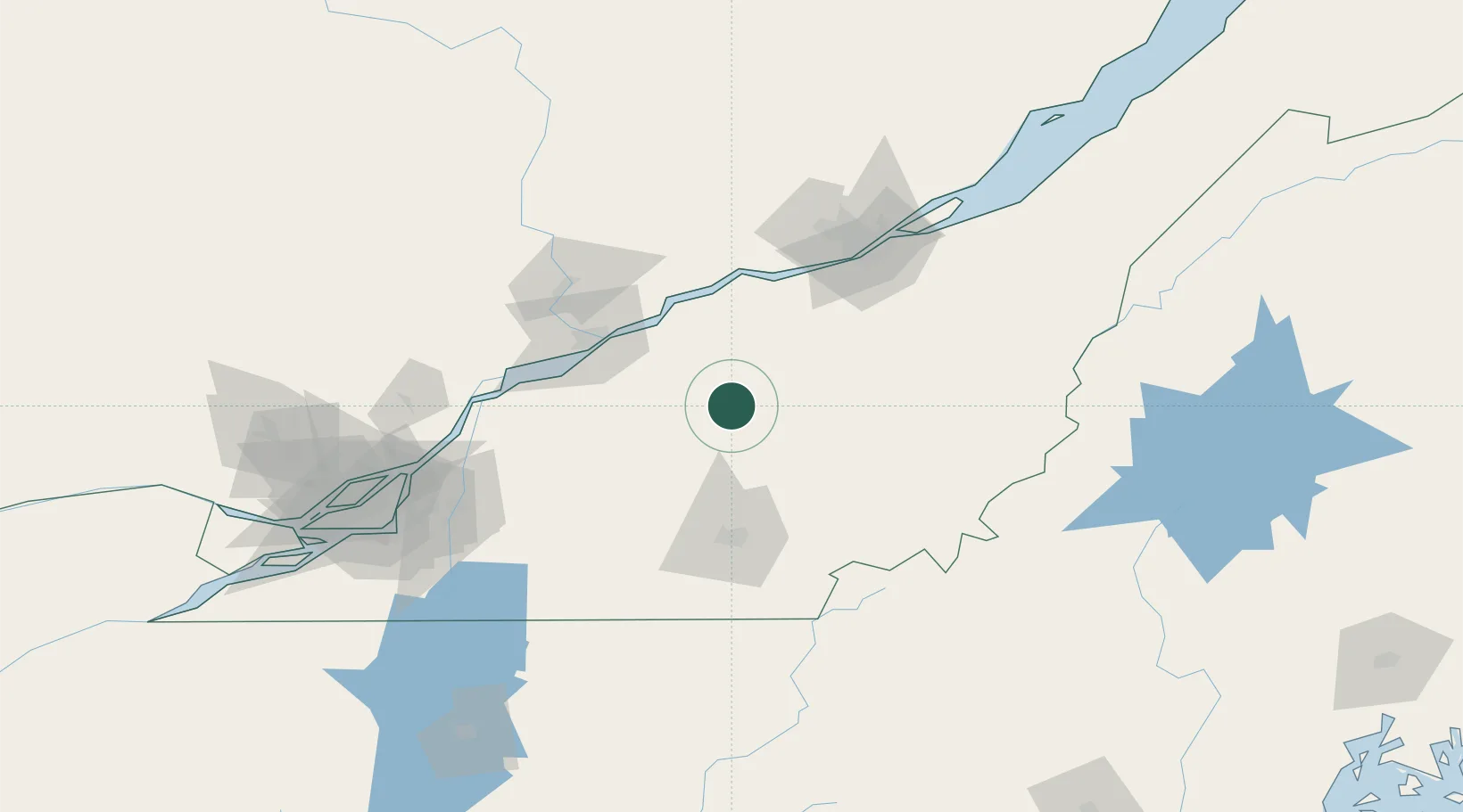
Nearby Logistics Neighbours

Cities
  1. 1Victoriaville3 km
  2. 2Princeville15 km
  3. 3Plessisville23 km
  4. 4Daveluyville25 km
  5. 5Saint-Félix-de-Kingsey33 km
Nearest neighbours — logibook spatial index (haversine) over the source coordinates
Ports
  1. 1Port De Becancour54 km
  2. 2Trois Rivieres60 km
  3. 3Sorel93 km
  4. 4Contrecour101 km
  5. 5Quebec102 km
Nearest neighbours — logibook spatial index (haversine) over the source coordinates
Airports
  1. 1Sherbrooke Airport68 km
  2. 2Trois-Rivières Airport69 km
  3. 3Saint-Georges Airport93 km
  4. 4Quebec Jean Lesage International Airport93 km
  5. 5Bromont (Roland Désourdy) Airport105 km
Nearest neighbours — logibook spatial index (haversine) over the source coordinates
Trade Zones
  1. 1Québec City FTZ102 km
  2. 2Greater Montreal Free Zone Center140 km
  3. 3FTZ No. 186 Waterville240 km
  4. 4FTZ No. 263 Auburn254 km
  5. 5FTZ No. 058 Bangor278 km
Nearest neighbours — logibook spatial index (haversine) over the source coordinates
DatabookThe Record of Consolidated Knowledge
Canada beyond logistics?
Browse databook

All Sources

LocationsUN/LOCODE
UN/LOCODE — free
Portsthe NGA World Port Index
Public domain (US gov)
AirportsOurAirports
Public domain
Trade Zonesthe World Bank SEZ database
CC BY 4.0
Trade ZonesOpen Zone Map
CC BY
← Canada locations