Transport Functions
Rail
Road
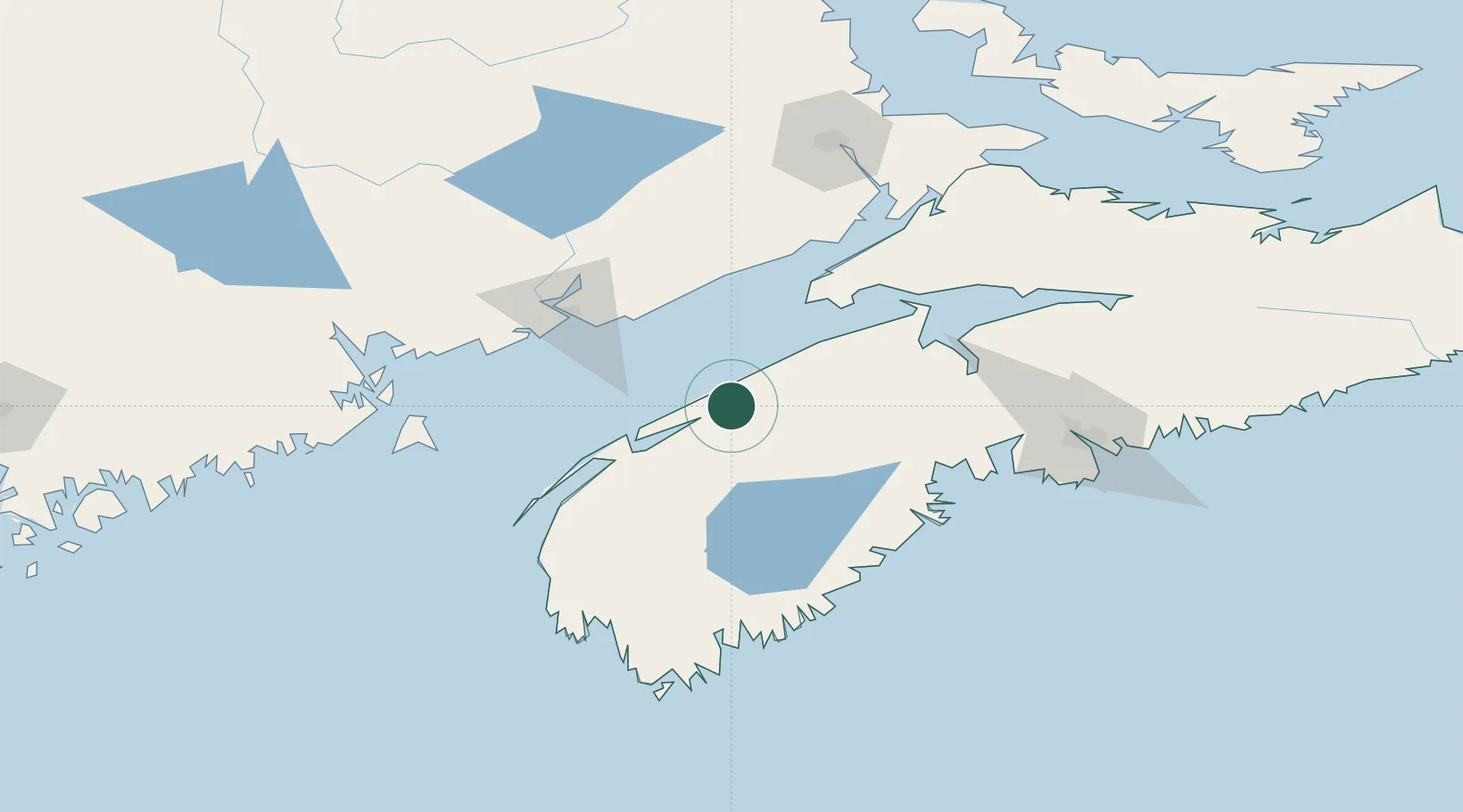
Hub Profile
Place type
Populated place
Region
Nova Scotia
Population
970
Time zone
America/Halifax
Elevation
15 m
Location
Nearby Logistics Neighbours
Cities
- 1Middleton20 km
- 2Cornwallis34 km
- 3Berwick49 km
- 4Hibernia61 km
- 5New Ross67 km
Ports
- 1Digby45 km
- 2Canaport (St. John)69 km
- 3St John77 km
- 4Windsor91 km
- 5Liverpool (Brooklyn)102 km
Airports
- 1CFB Greenwood33 km
- 2Digby / Annapolis Regional Airport51 km
- 3Saint John Airport72 km
- 4Yarmouth Airport129 km
- 5Halifax / Stanfield International Airport140 km
Trade Zones
- 1Saint John79 km
- 2Halifax Gateway136 km
- 3FTZ No. 058 Bangor279 km
- 4FTZ No. 186 Waterville351 km
- 5FTZ No. 179 Madawaska360 km
DatabookThe Record of Consolidated Knowledge
Canada beyond logistics?