Transport Functions
Port
Road
Hub Profile
Place type
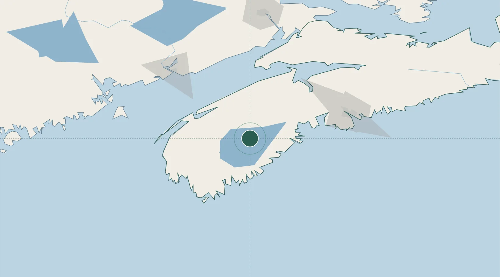
Populated place
Region
Nova Scotia
Time zone
America/Halifax
Elevation
85 m
Location
Nearby Logistics Neighbours
Cities
- 1Pleasantville44 km
- 2Port Mouton46 km
- 3Sable River56 km
- 4New Ross60 km
- 5Bridgetown61 km
Ports
- 1Liverpool (Brooklyn)43 km
- 2Digby70 km
- 3Windsor99 km
- 4Halifax117 km
- 5Canaport (St. John)125 km
Airports
- 1Digby / Annapolis Regional Airport68 km
- 2CFB Greenwood73 km
- 3Yarmouth Airport105 km
- 4Saint John Airport131 km
- 5Halifax / Stanfield International Airport132 km
Trade Zones
- 1Halifax Gateway117 km
- 2Saint John135 km
- 3FTZ No. 058 Bangor308 km
- 4FTZ No. 186 Waterville375 km
- 5Cape Breton Regional Municipality Foreign Trade Zone389 km
DatabookThe Record of Consolidated Knowledge
Canada beyond logistics?