Transport Functions
Rail
Road
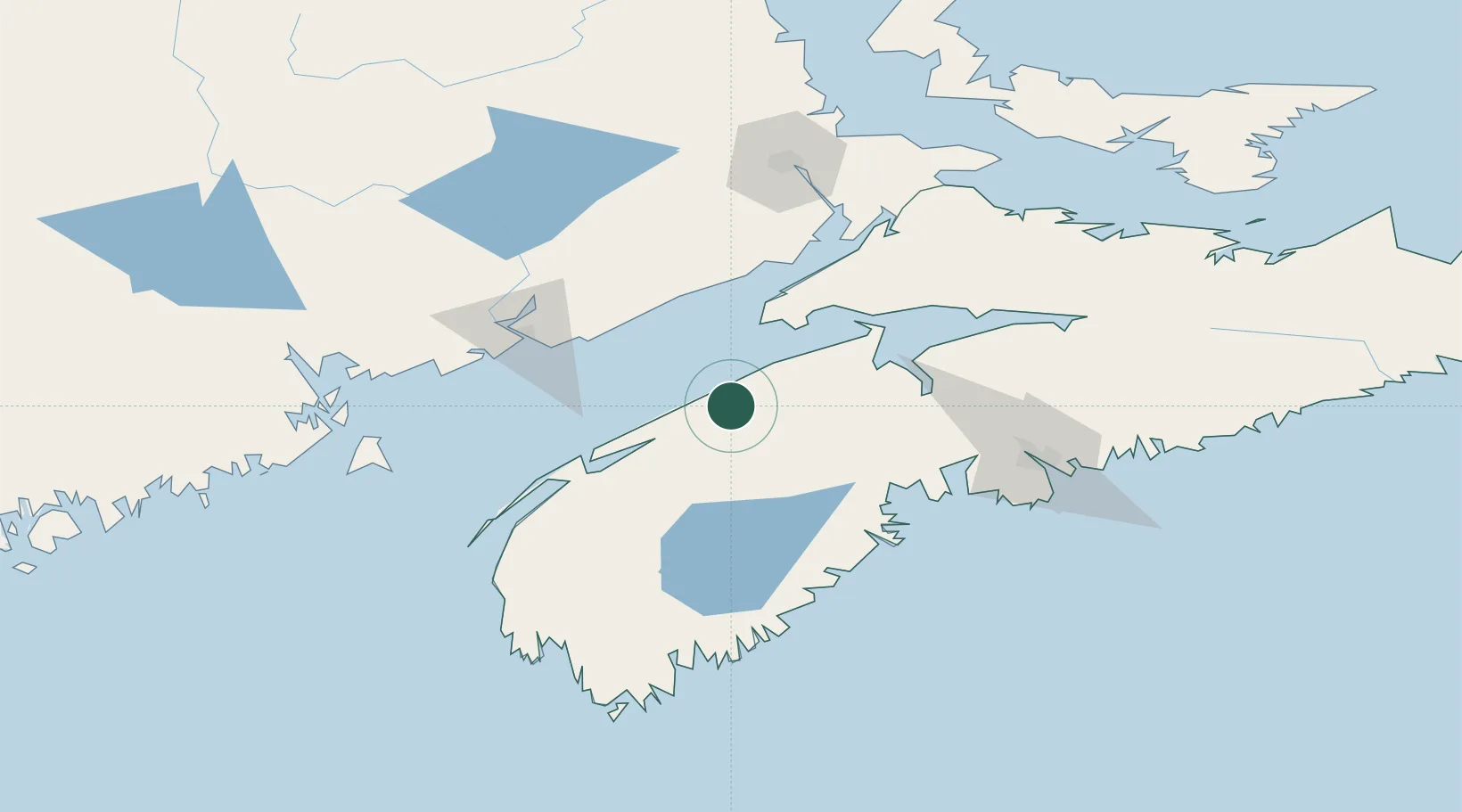
Hub Profile
Place type
Populated place
Region
Nova Scotia
Population
1,873
Time zone
America/Halifax
Elevation
20 m
Location
Nearby Logistics Neighbours
Cities
- 1Bridgetown20 km
- 2Berwick29 km
- 3New Ross54 km
- 4Cornwallis55 km
- 5Port Williams55 km
Ports
- 1Digby66 km
- 2Windsor73 km
- 3Canaport (St. John)78 km
- 4St John86 km
- 5Liverpool (Brooklyn)105 km
Airports
Trade Zones
- 1Saint John87 km
- 2Halifax Gateway121 km
- 3FTZ No. 058 Bangor296 km
- 4Cape Breton Regional Municipality Foreign Trade Zone363 km
- 5FTZ No. 179 Madawaska363 km
DatabookThe Record of Consolidated Knowledge
Canada beyond logistics?