Transport Functions
Road
Multimodal
Hub Profile
Place type
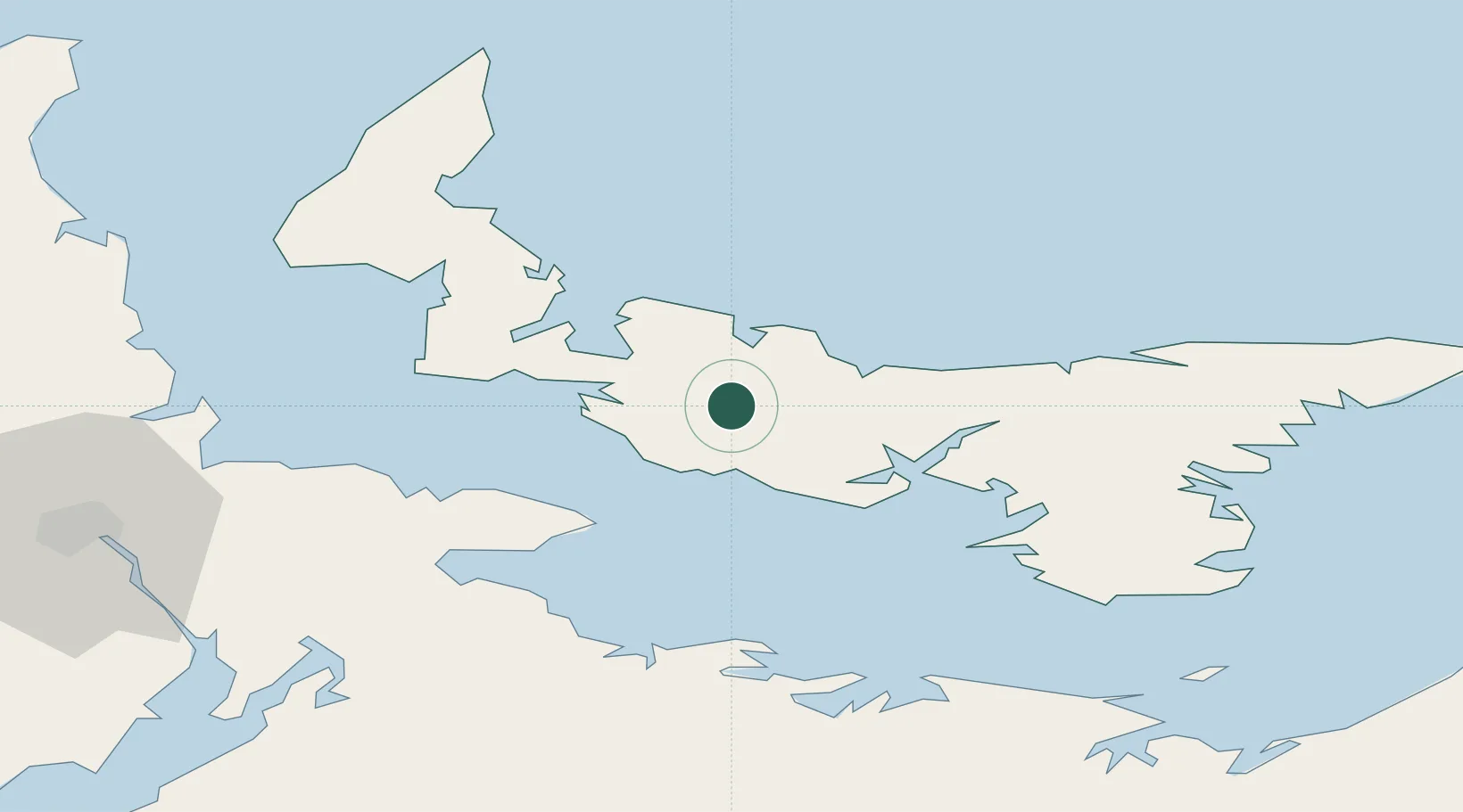
Populated place
Region
Prince Edward Island
Time zone
America/Halifax
Elevation
39 m
Location
Nearby Logistics Neighbours
Cities
- 1Prince Edward Island18 km
- 2Borden19 km
- 3York31 km
- 4Charlottetown31 km
- 5Little Shemogue48 km
Ports
- 1Summerside22 km
- 2Charlottetown31 km
- 3Georgetown77 km
- 4Pictou97 km
- 5Windsor158 km
Airports
Trade Zones
- 1Halifax Gateway189 km
- 2Cape Breton Regional Municipality Foreign Trade Zone212 km
- 3Saint John232 km
- 4FTZ No. 179 Madawaska383 km
- 5FTZ No. 058 Bangor448 km
DatabookThe Record of Consolidated Knowledge
Canada beyond logistics?