Transport Functions
Port
Airport
Hub Profile
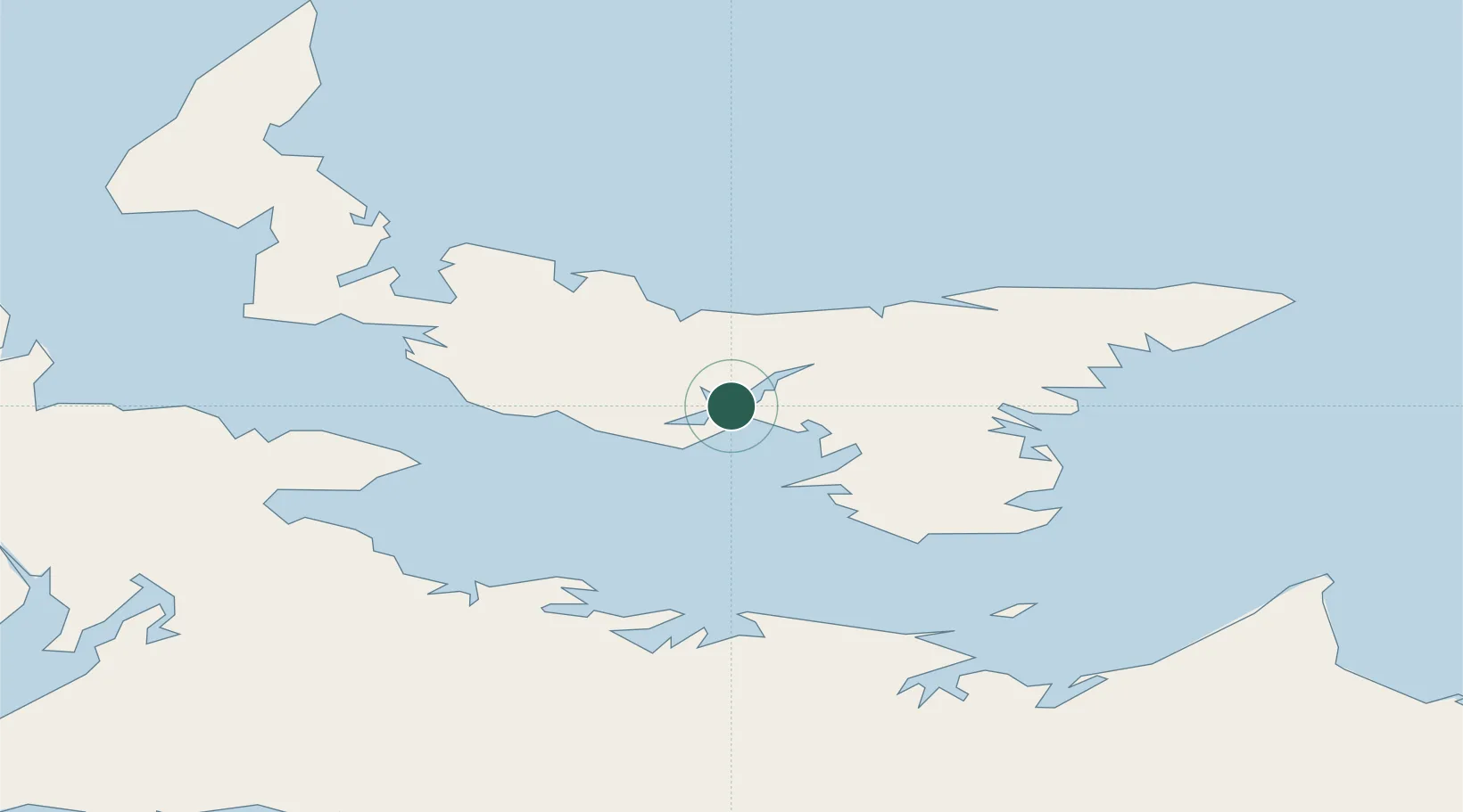
Place type
Regional capital
Region
Prince Edward Island
Population
38,809
Time zone
America/Halifax
Elevation
14 m
Location
Nearby Logistics Neighbours
Cities
- 1York10 km
- 2Vernon Bridge20 km
- 3Breadalbane31 km
- 4Morell38 km
- 5Prince Edward Island41 km
Ports
- 1Georgetown47 km
- 2Summerside53 km
- 3Pictou71 km
- 4Port Hastings149 km
- 5Port Hawkesbury153 km
Airports
Trade Zones
- 1Halifax Gateway179 km
- 2Cape Breton Regional Municipality Foreign Trade Zone184 km
- 3Saint John251 km
- 4FTZ No. 179 Madawaska413 km
- 5FTZ No. 058 Bangor470 km
DatabookThe Record of Consolidated Knowledge
Canada beyond logistics?