Transport Functions
Multimodal
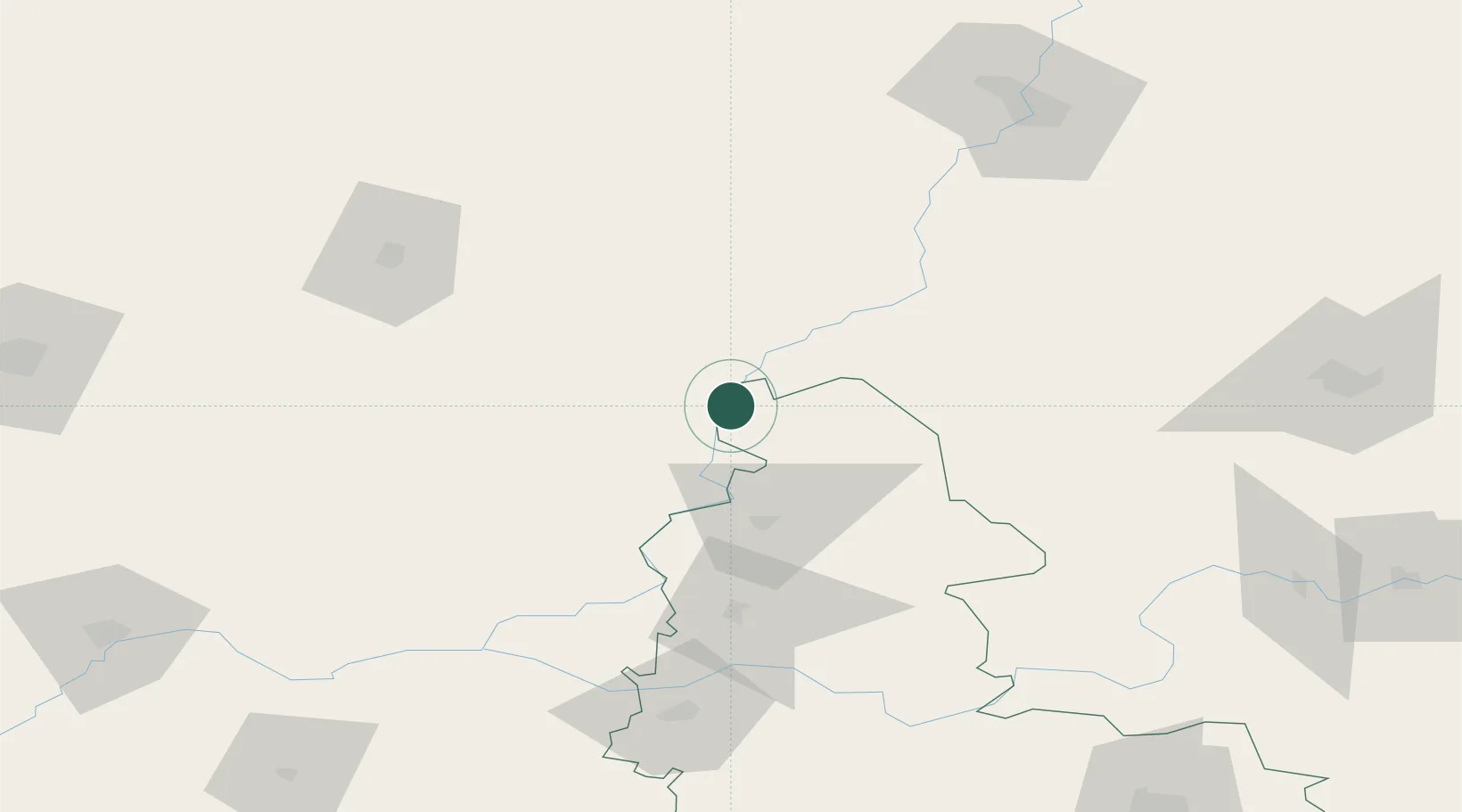
Location
Nearby Logistics Neighbours
Cities
- 1Shostka47 km
- 2Novozybkov102 km
- 3Zlynka112 km
- 4Mena115 km
- 5Konotop116 km
Ports
- 1Mykolayiv600 km
- 2Port Oktyabrsk613 km
- 3Kherson631 km
- 4Mariupol651 km
- 5Yuzhnyy653 km
Airports
- 1Bryansk International Airport119 km
- 2Seshcha Air Base161 km
- 3Gomel Airport162 km
- 4Nizhyn Air Base167 km
- 5Kursk East Airport209 km
Trade Zones
DatabookThe Record of Consolidated Knowledge
Ukraine beyond logistics?