Transport Functions
Rail
Road
Hub Profile
Place type
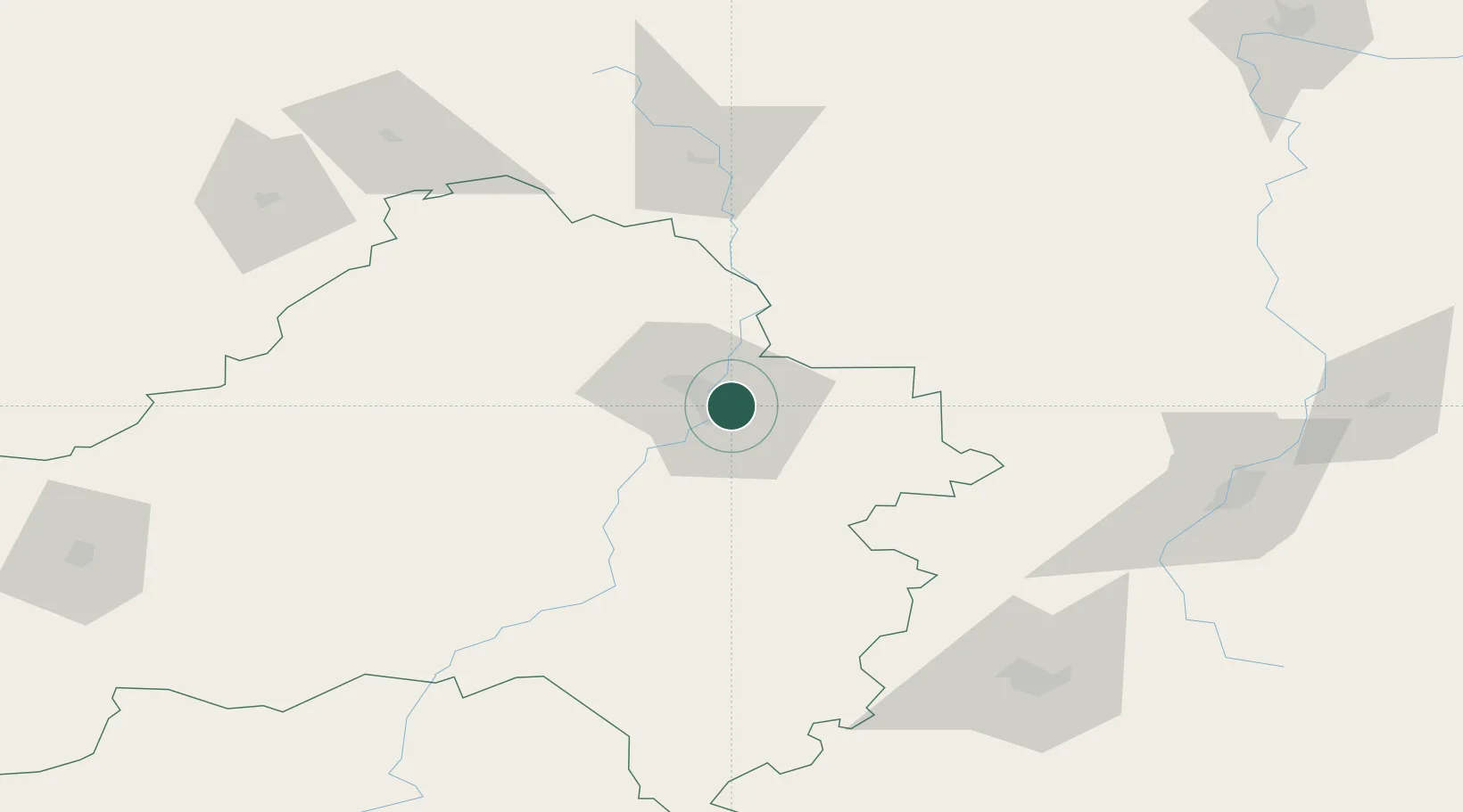
Regional capital
Region
Bryansk Oblast
Population
427,236
Time zone
Europe/Moscow
Elevation
209 m
Logistics facilities
1
Location
Nearby Logistics Neighbours
Cities
- 1Zhukovka, Bryansk53 km
- 2Orël116 km
- 3Dubovyazivka131 km
- 4Sosenskiy134 km
- 5Mtsensk143 km
Ports
- 1Mykolayiv723 km
- 2Mariupol723 km
- 3Port Oktyabrsk736 km
- 4Berdyansk744 km
- 5Taganrog747 km
Airports
- 1Bryansk International Airport16 km
- 2Seshcha Air Base87 km
- 3Shaykovka Air Base107 km
- 4Oreshkovo Airfield173 km
- 5Shatalovo Air Base175 km
DatabookThe Record of Consolidated Knowledge
Russia beyond logistics?