Transport Functions
Rail
Road
Hub Profile
Place type
Populated place
Region
Lublin
Time zone
Europe/Warsaw
Elevation
142 m
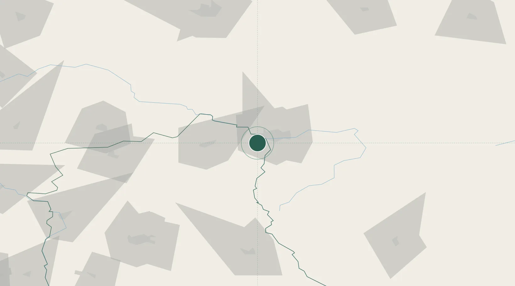
Location
Nearby Logistics Neighbours
Cities
- 1Pakosc3 km
- 2Terespol4 km
- 3Malaszewicze4 km
- 4Bol'shiye Motykaly17 km
- 5Wrzoski54 km
Ports
- 1Kaliningrad359 km
- 2Baltiysk376 km
- 3Gdansk415 km
- 4Nowy Port419 km
- 5Gdynia433 km
Airports
- 1Brest International Airport24 km
- 2Osovtsy Air Base106 km
- 3Lublin Airport108 km
- 4Deblin Military Air Base128 km
- 5Minsk Mazowiecki Military Air Base131 km
Trade Zones
DatabookThe Record of Consolidated Knowledge
Poland beyond logistics?