Transport Functions
Rail
Road
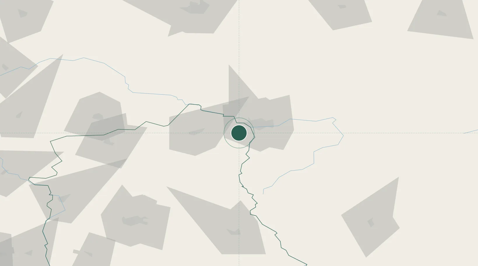
Hub Profile
Place type
District seat
Region
Kujawsko-Pomorskie
Population
5,762
Time zone
Europe/Warsaw
Elevation
80 m
Location
Nearby Logistics Neighbours
Cities
- 1Malaszewicze1 km
- 2Kobylany3 km
- 3Terespol7 km
- 4Bol'shiye Motykaly19 km
- 5Miedzyrzec Podlaski52 km
Ports
- 1Kaliningrad359 km
- 2Baltiysk376 km
- 3Gdansk414 km
- 4Nowy Port418 km
- 5Gdynia432 km
Airports
- 1Brest International Airport26 km
- 2Lublin Airport105 km
- 3Osovtsy Air Base109 km
- 4Deblin Military Air Base125 km
- 5Minsk Mazowiecki Military Air Base130 km
Trade Zones
DatabookThe Record of Consolidated Knowledge
Poland beyond logistics?