Transport Functions
Rail
Road
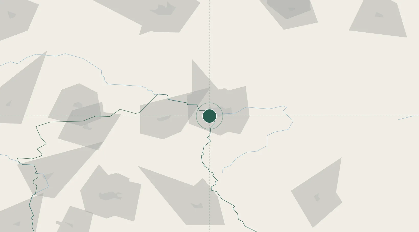
Hub Profile
Place type
District seat
Region
Lublin
Population
6,000
Time zone
Europe/Warsaw
Elevation
131 m
Location
Nearby Logistics Neighbours
Cities
- 1Kobylany4 km
- 2Pakosc7 km
- 3Malaszewicze8 km
- 4Bol'shiye Motykaly15 km
- 5Kobryn53 km
Ports
- 1Kaliningrad359 km
- 2Baltiysk377 km
- 3Gdansk416 km
- 4Nowy Port420 km
- 5Gdynia434 km
Airports
- 1Brest International Airport20 km
- 2Osovtsy Air Base102 km
- 3Lublin Airport111 km
- 4Deblin Military Air Base132 km
- 5Minsk Mazowiecki Military Air Base135 km
Trade Zones
DatabookThe Record of Consolidated Knowledge
Poland beyond logistics?