UN/LOCODE hub · Brazil
BRBHZ
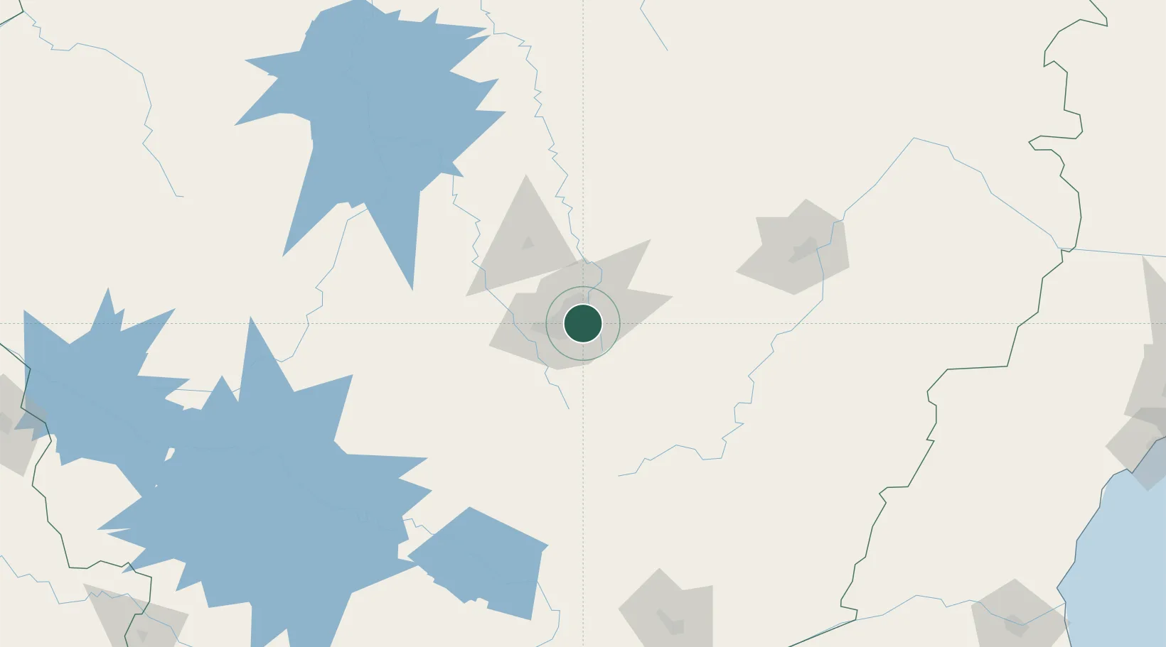
Belo Horizonte
-19.9333°, -43.9167°
2,721,564
Population
2
Transport functions
Transport Functions
Rail
Road
Hub Profile
Place type
Regional capital
Region
Minas Gerais
Population
2,721,564
Time zone
America/Sao_Paulo
Elevation
888 m
Location
Nearby Logistics Neighbours
Cities
- 1Santa Luzia20 km
- 2Contagem20 km
- 3Betim21 km
- 4Rio Acima22 km
- 5Vespasiano28 km
Ports
- 1Niteroi338 km
- 2Rio De Janeiro339 km
- 3Angra Dos Reis345 km
- 4Macae351 km
- 5Vitoria377 km
Airports
Trade Zones
- 1ZPE de Itaguaí (RJ)331 km
- 2ZPE de Teófilo Otoni (MG)344 km
- 3ZPE do Açú (RJ)366 km
- 4ZPE de Aracruz (ES)405 km
- 5ZPE de Uberaba (MG)426 km
DatabookThe Record of Consolidated Knowledge
Brazil beyond logistics?