Transport Functions
Rail
Road
Hub Profile
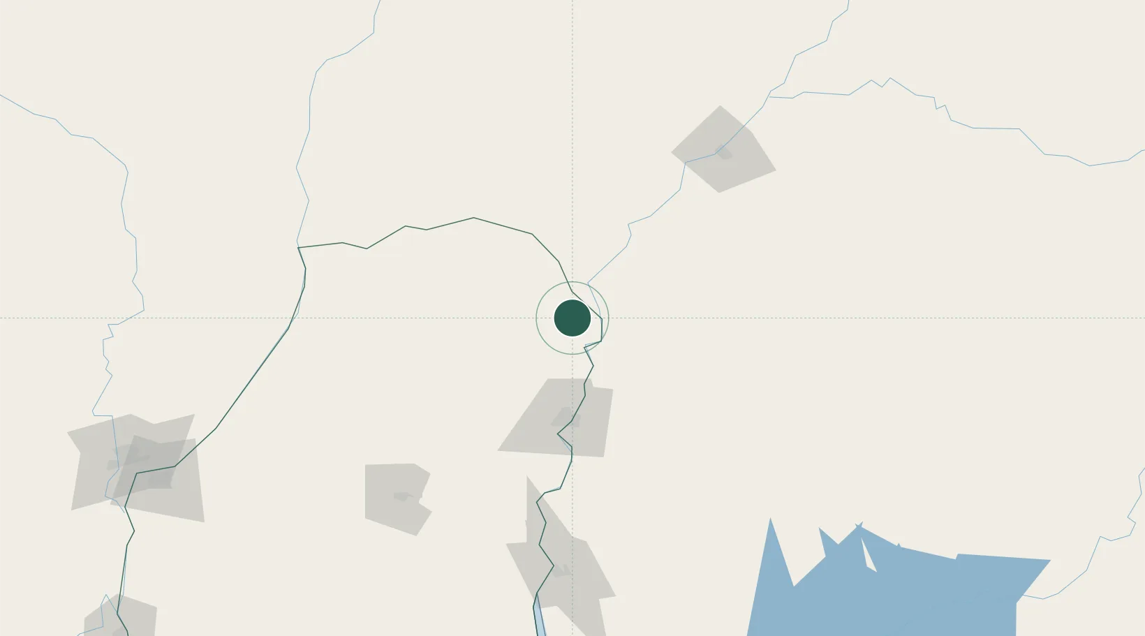
Place type
Populated place
Region
Entre Rios
Population
30,655
Time zone
America/Argentina/Cordoba
Elevation
35 m
Location
Nearby Logistics Neighbours
Cities
- 1Mocoretá15 km
- 2Barra do Quaraí76 km
- 3San Salvador107 km
- 4Uruguaiana143 km
- 5Quaraí153 km
Ports
- 1Concordia71 km
- 2Colon162 km
- 3Paysandu173 km
- 4Concepcion Del Uruguay192 km
- 5Fray Bentos263 km
Airports
- 1Comodoro Pierrestegui Airport59 km
- 2Monte Caseros Airport64 km
- 3Nueva Hesperides International Airport75 km
- 4Curuzu Cuatia Airport111 km
- 5Rubem Berta Airport142 km
Trade Zones
- 1Rivera Free Zone233 km
- 2Zona Franca UPM263 km
- 3UPM Fray Bentos Free Zone263 km
- 4Nueva Palmira Free Zone349 km
- 5Montes de Plata Free Zone385 km
DatabookThe Record of Consolidated Knowledge
Argentina beyond logistics?