Transport Functions
Rail
Road
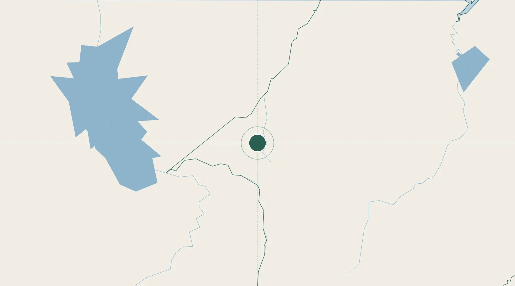
Hub Profile
Place type
Populated place
Region
Maranhão
Population
106,550
Time zone
America/Fortaleza
Elevation
243 m
Location
Nearby Logistics Neighbours
Cities
- 1Praia Norte59 km
- 2Imperatriz63 km
- 3Araguatins104 km
- 4Porto Franco156 km
- 5Marabá186 km
Ports
- 1Cameta373 km
- 2Vila Do Conde403 km
- 3Belem405 km
- 4Itaqui437 km
- 5Tutoia627 km
Airports
- 1Prefeito Renato Moreira Airport65 km
- 2João Correa da Rocha Airport187 km
- 3Nagib Demachki Airport216 km
- 4Brig. Lysias Augusto Rodrigues Airport264 km
- 5Araguaína Airport266 km
Trade Zones
- 1ZPE de Araguaína (TO)260 km
- 2ZPE de Barcarena (PA)402 km
- 3ZPE de São Luís441 km
- 4ZPE de Parnaíba (PI)673 km
- 5ZPE de Pecém (CE) ( Port of Pecém)971 km
DatabookThe Record of Consolidated Knowledge
Brazil beyond logistics?