UN/LOCODE hub · Brazil
BRRPC
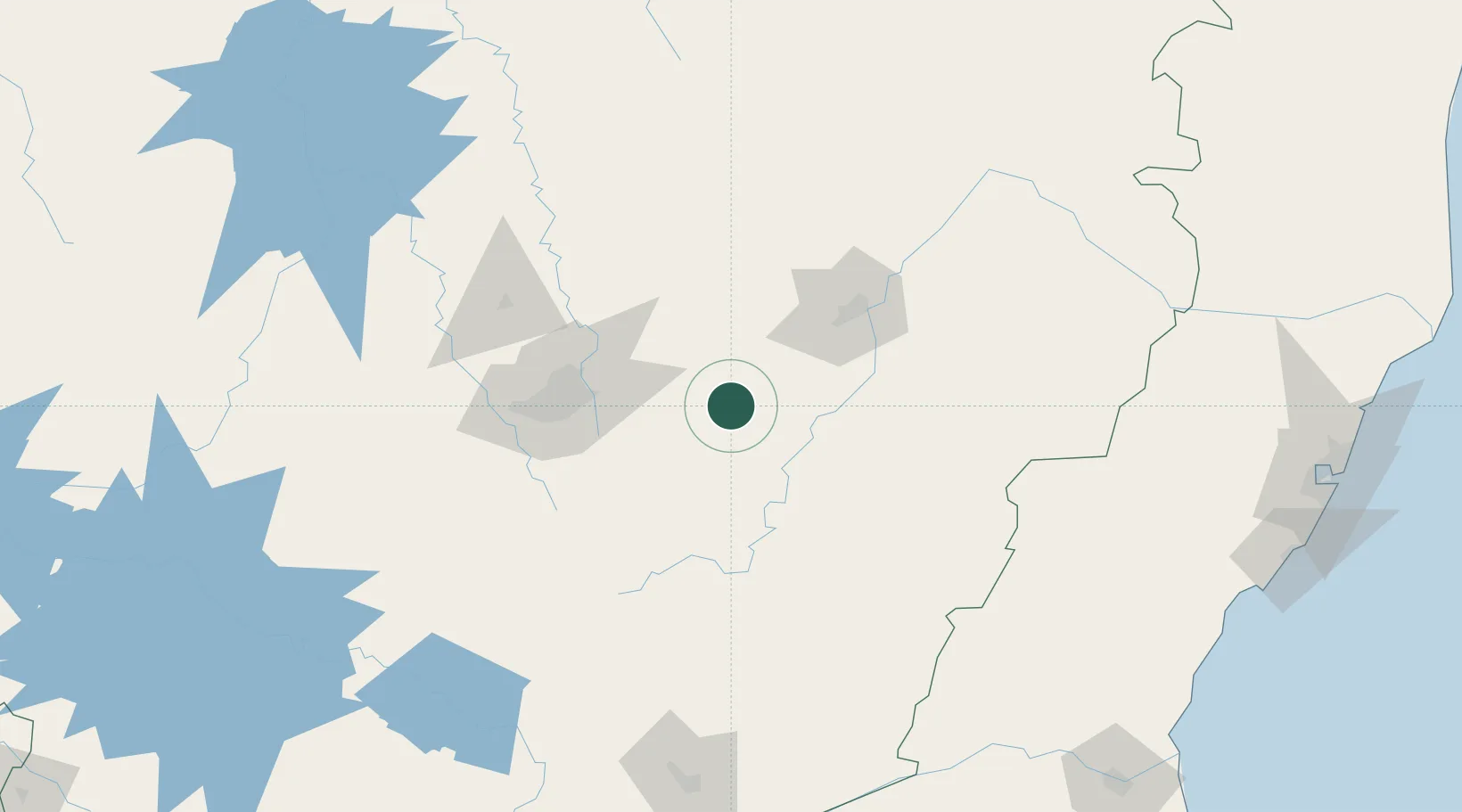
Rio Piracicaba
-19.9500°, -43.1667°
14,631
Population
2
Transport functions
Transport Functions
Rail
Road
Hub Profile
Place type
Populated place
Region
Minas Gerais
Population
14,631
Time zone
America/Sao_Paulo
Elevation
634 m
Location
Nearby Logistics Neighbours
Cities
- 1João Monlevade17 km
- 2Bela Vista de Minas17 km
- 3São Gonçalo do Rio Abaixo23 km
- 4Santa Bárbara24 km
- 5Nova Era26 km
Ports
- 1Vitoria299 km
- 2Macae305 km
- 3Tubarao307 km
- 4Niteroi326 km
- 5Rio De Janeiro328 km
Airports
Trade Zones
- 1ZPE de Teófilo Otoni (MG)292 km
- 2ZPE do Açú (RJ)305 km
- 3ZPE de Aracruz (ES)327 km
- 4ZPE de Itaguaí (RJ)335 km
- 5ZPE de Uberaba (MG)505 km
DatabookThe Record of Consolidated Knowledge
Brazil beyond logistics?