Transport Functions
Rail
Road
Hub Profile
Place type
Populated place
Region
Minas Gerais
Population
6,826
Time zone
America/Sao_Paulo
Elevation
663 m
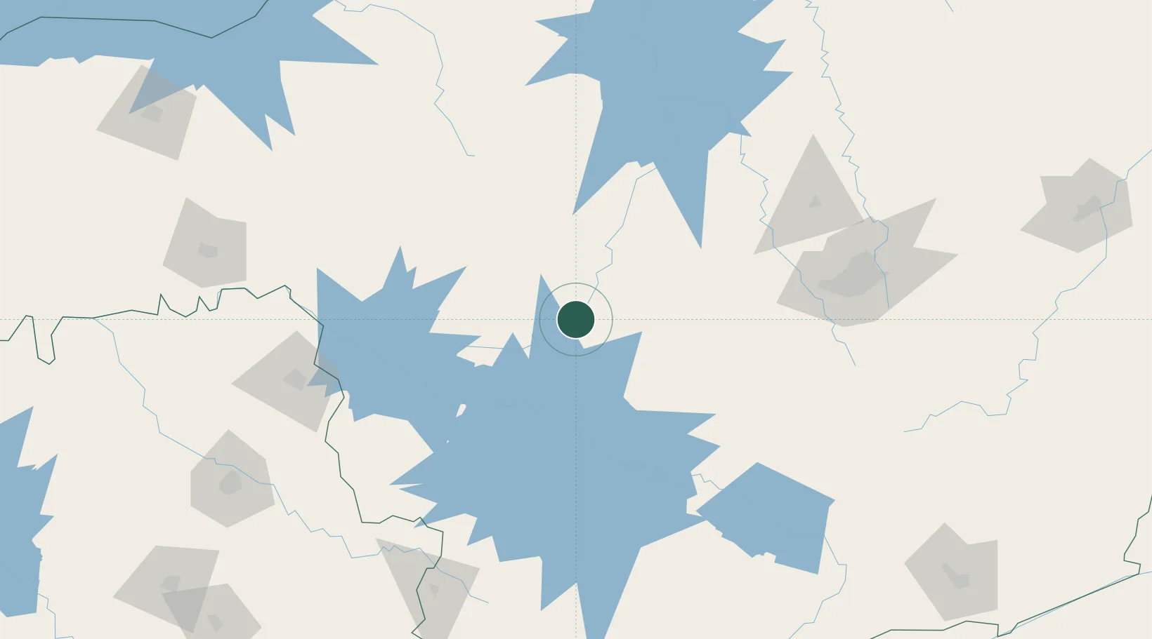
Location
Nearby Logistics Neighbours
Cities
- 1Arcos21 km
- 2Divinópolis85 km
- 3Carmo da Mata97 km
- 4Itaúna119 km
- 5Lavras140 km
Ports
- 1Angra Dos Reis348 km
- 2Rio De Janeiro401 km
- 3Niteroi403 km
- 4Sao Sebastiao405 km
- 5Santos425 km
Airports
Trade Zones
- 1ZPE de Uberaba (MG)244 km
- 2ZPE de Itaguaí (RJ)364 km
- 3ZPE de Fernandópolis (SP)478 km
- 4ZPE de Teófilo Otoni (MG)512 km
- 5ZPE do Açú (RJ)518 km
DatabookThe Record of Consolidated Knowledge
Brazil beyond logistics?