Transport Functions
Rail
Road
Airport
Hub Profile
Place type
Populated place
Region
Minas Gerais
Population
231,091
Time zone
America/Sao_Paulo
Elevation
747 m
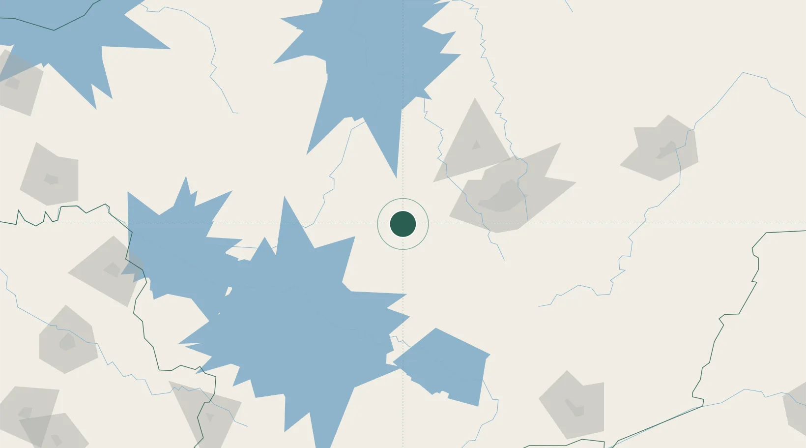
Location
Nearby Logistics Neighbours
Cities
- 1Itaúna34 km
- 2Carmo da Mata46 km
- 3Arcos69 km
- 4Brumadinho71 km
- 5Sarzedo72 km
Ports
- 1Angra Dos Reis326 km
- 2Rio De Janeiro355 km
- 3Niteroi356 km
- 4Macae407 km
- 5Sao Sebastiao411 km
Airports
Trade Zones
- 1ZPE de Uberaba (MG)328 km
- 2ZPE de Itaguaí (RJ)329 km
- 3ZPE de Teófilo Otoni (MG)437 km
- 4ZPE do Açú (RJ)442 km
- 5ZPE de Aracruz (ES)508 km
DatabookThe Record of Consolidated Knowledge
Brazil beyond logistics?