Transport Functions
Rail
Road
Hub Profile
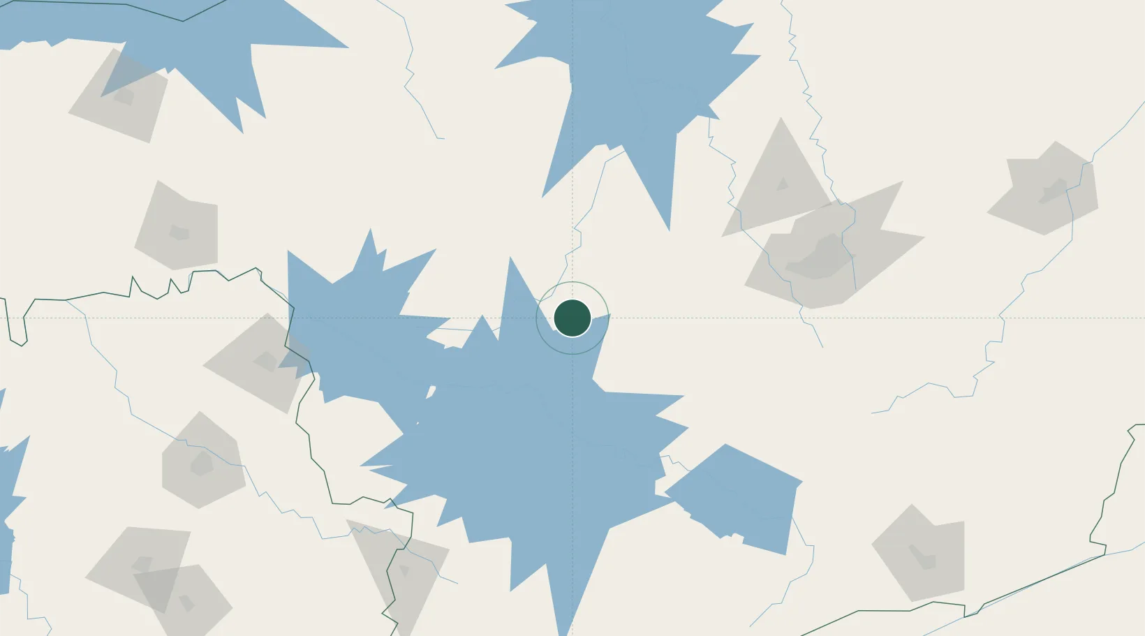
Place type
Populated place
Region
Minas Gerais
Population
41,416
Time zone
America/Sao_Paulo
Elevation
737 m
Location
Nearby Logistics Neighbours
Cities
- 1Iguatama21 km
- 2Divinópolis69 km
- 3Carmo da Mata76 km
- 4Itaúna103 km
- 5Lavras122 km
Ports
- 1Angra Dos Reis331 km
- 2Rio De Janeiro382 km
- 3Niteroi384 km
- 4Sao Sebastiao393 km
- 5Santos417 km
Airports
Trade Zones
- 1ZPE de Uberaba (MG)264 km
- 2ZPE de Itaguaí (RJ)345 km
- 3ZPE de Fernandópolis (SP)495 km
- 4ZPE do Açú (RJ)498 km
- 5ZPE de Teófilo Otoni (MG)502 km
DatabookThe Record of Consolidated Knowledge
Brazil beyond logistics?